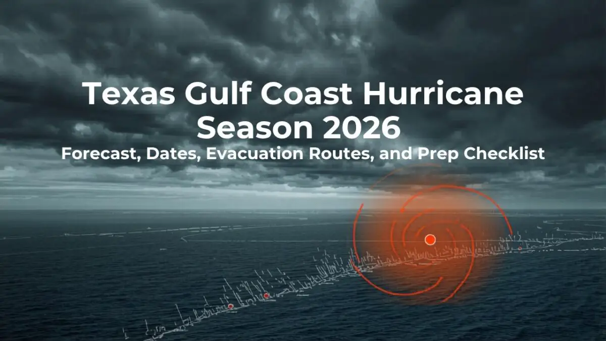
Texas Gulf Coast Hurricane Season 2026: Forecast, Dates, Evacuation Routes, and Prep Checklist
Texas Gulf Coast hurricane season 2026 starts with a quieter-looking Atlantic forecast, but you should still prepare before June because one local storm can change the whole year for your home, trip, or business. If your plans include the best beaches in Texas, a coastal rental, a bayfront home, or a drive toward the barrier islands, your plan should be ready before watches appear.
The useful move is not panic. The useful move is to understand the forecast, know where official warnings live, map your evacuation choices, protect documents and pets, and decide ahead of time what will make you leave, delay travel, or stay put.
What the 2026 Atlantic hurricane season forecast means for Texas
The 2026 Atlantic hurricane season forecast points to somewhat below-normal basin activity, but that does not make the Texas coast low risk. Colorado State University TC-RAMS released its initial forecast on April 9, 2026, and the Colorado State University forecast called for 13 named storms, 6 hurricanes, and 2 major hurricanes.
Those numbers sit below the 1991-2020 averages shown by CSU: 14.4 named storms, 7.2 hurricanes, and 3.2 major hurricanes. CSU also forecast an ACE value of 90, below the 1991-2020 average of 123, which supports the below-normal seasonal signal.
What does the 2026 hurricane forecast mean for Texas in plain terms? You should treat it as a planning signal, not a promise about landfall, because seasonal forecasts describe the Atlantic basin and cannot tell you months ahead whether a storm will turn toward Galveston, Corpus Christi, Port Aransas, Brownsville, or somewhere else.
CSU’s reasoning is tied partly to a likely transition from weak La Nina conditions toward El Nino. El Nino can increase wind shear over the tropical Atlantic, and stronger wind shear can make storm organization harder.
That is good context, but it does not erase Texas hazards. If one tropical storm stalls over a drainage basin, one hurricane drives water into a bay, or one late-season system intensifies close to land, your practical season may feel active even if the final Atlantic storm count is not.
| 2026 signal | What it means for you |
|---|---|
| 13 named storms forecast | You still need a name-by-name tracking habit once systems form. |
| 6 hurricanes forecast | You should prepare for hurricane conditions even in a below-normal year. |
| 2 major hurricanes forecast | You should not wait for a Category 3 forecast to review evacuation and insurance decisions. |
| Forecast updates in June, July, and August | You should revisit the outlook as peak season gets closer. |
Your best takeaway is disciplined calm. Start with the seasonal outlook, then make decisions from official local forecasts, watches, warnings, and evacuation orders when a specific storm exists.
Key dates and official forecast changes to know in 2026
The official Atlantic hurricane season runs from June 1 through November 30, and the National Hurricane Center showed no Atlantic tropical cyclones at 0015 UTC on May 12, 2026. The National Hurricane Center also said Atlantic Tropical Weather Outlook issuance would resume on May 15 or as necessary.
For the Texas coast, May is the right month to finish your prep, because the official start date is not a wall. A system can develop before June, and many household tasks are harder once stores, gas stations, and roads are crowded.
The 2026 season also brings a forecast-communication change from NHC. The 2026 NHC Products and Services Update says the operational cone graphic will include all land-based coastal and inland tropical storm and hurricane watches and warnings for the continental United States, Hawaii, Puerto Rico, and the Virgin Islands.
That matters if you live inland from the first beach road or if you usually focus only on the center track. The cone still does not show every impact, so you should look for wind alerts, storm surge products, rainfall forecasts, local orders, and road conditions in addition to the track.
The 2026 Atlantic names begin with Arthur, Bertha, Cristobal, Dolly, Edouard, Fay, Gonzalo, Hanna, Isaias, Josephine, Kyle, Leah, Marco, Nana, Omar, Paulette, Rene, Sally, Teddy, Vicky, and Wilfred. Names help you follow advisories, but the name itself does not tell you whether the threat is surge, rain, wind, rip currents, or tornadoes.
If you use Galveston as your mental reference point for coastal risk, keep normal beach and seawall geography separate from storm planning. A regular visit to the Galveston Seawall is not the same decision as staying during a surge threat, a bridge closure risk, or an evacuation order.
- Before May 15: set alerts, gather documents, and review insurance.
- June through August: watch weekly outlook updates and keep travel plans flexible.
- August through October: treat Gulf systems seriously because peak-season water and steering patterns can change quickly.
- After every storm: wait for official road, bridge, beach, and utility updates before returning.
Where Texas Gulf Coast risk changes by place
Your risk changes by elevation, bay exposure, drainage, road access, building type, and how far you are from a reliable inland route. A person in a raised structure near a bay, a renter in a ground-floor apartment, a beach camper, and a Houston-area commuter may face different problems from the same storm.
Storm surge is often the headline hazard for low-lying coastal areas, but it is not the only one. National Weather Service hurricane hazard guidance identifies storm surge flooding, inland flooding from heavy rain, destructive winds, tornadoes, high surf, and rip currents as tropical-cyclone hazards.
That mix is why your plan should not stop at distance from the beach. A storm can make a barrier-island road unsafe, push water into bays and canals, drop flooding rain well inland, produce tornadoes in outer bands, or make surf dangerous after the center has moved away.
In the Houston-Galveston region, evacuation planning often depends on zip zones and local orders. The 2026 H-GAC evacuation map covers Brazoria, Chambers, Galveston, Harris, and Matagorda as coastal counties for that regional map, and it notes that authorities may issue evacuation orders by zip code zone when a storm threatens.
If you live near Surfside, Freeport, Lake Jackson, or another Brazoria County community, pair the map with local emergency alerts and your normal route choices. Your everyday Brazoria County coastal guide planning should shift into evacuation-zone thinking once a Gulf threat develops.
The Coastal Bend has its own mix of bayfront, island, port, and inland drainage concerns. Corpus Christi, Rockport, Port Aransas, Aransas Pass, and nearby towns may not share the same order, road condition, or bridge timing, so you should follow the county and city that control the place where you actually are.
Farther south, the Rio Grande Valley adds long-distance evacuation decisions, heat, traffic, and household logistics. If you wait until a warning is issued to decide where you will go, you may be trying to solve family, fuel, pet, medicine, and lodging questions at the same time.
- Ask whether water, wind, rainfall, or road access is your main risk.
- Know your county and city emergency-management channels.
- Save your evacuation zone, not just a general coastal map.
- Plan for pets, medical needs, mobility needs, and transportation before an order is possible.
Build your evacuation plan before a watch is issued
Your evacuation plan should exist before a storm watch, because traffic, anxiety, and limited time make decision-making worse. The TxDOT hurricane preparation page points you to statewide and district evacuation route maps and tells you to know your route, keep a survival kit, and keep emergency information accessible.
TxDOT lists route maps from Beaumont to Brownsville, including Beaumont-Port Arthur, Corpus Christi-Aransas Pass-Port Aransas, Houston-Harris County-Galveston, Pharr-Brownsville-Laredo-McAllen, and Yoakum-Victoria-Matagorda Bay. That is the backbone for Texas hurricane evacuation routes, but the order to leave usually comes from local officials.
If you are visiting the Coastal Bend, save route options before you unpack. A casual trip built around a Corpus Christi weekend guide needs a different plan when tropical-storm-force winds, bridge limits, or low-water crossings enter the picture.
Contraflow can also change what a familiar highway feels like. TxDOT defines contraflow as vehicles traveling opposite the normal lane direction during a hurricane evacuation so all lanes move inland and away from the Gulf Coast, and EvacuLanes can convert extra-wide shoulders into active travel lanes.
Do not assume a shortcut will be better than an official route. Official evacuation corridors are planned around traffic control, emergency services, fuel access, and known bottlenecks, while side roads may flood, jam, or close without much warning.
- Find your evacuation zone or local decision area through your county, city, or regional map.
- Save at least two inland destinations, including one that does not require a long hotel search.
- Print or download route maps in case mobile service becomes unreliable.
- Keep your vehicle ready earlier than you think you need to.
- Register with STEAR ahead of time if you or someone in your household may need assistance.
- Leave when local officials tell you to leave, especially for surge zones, mobile homes, RVs, and barrier islands.
STEAR is not a guarantee of assistance, but it helps emergency planners know about needs such as transportation help, communication barriers, pets, caregiver details, or disability, functional, and medical needs. If that describes your household, registration is a before-season task, not a landfall-week task.
Use a hurricane preparedness checklist that fits your household
A hurricane preparedness checklist works only if it fits your real household. The Texas Hurricane Center recommends an emergency supply kit, a family communication plan, evacuation-route review, local alerts, DriveTexas checks, shelter awareness, and STEAR registration for anyone who may need assistance.
Start with people, then property, then paperwork. If you reverse that order, you may spend time on patio furniture while medicine, IDs, pet carriers, and transportation are still unresolved.
| Need | What to decide before June |
|---|---|
| People | Where you will go, how you will communicate, and who needs extra help. |
| Pets | Carriers, food, vaccination records, pet-friendly lodging, and transport space. |
| Medicine | Refills, cold-storage needs, backup devices, and doctor/pharmacy contacts. |
| Documents | IDs, insurance, vehicle records, leases, medical papers, and waterproof storage. |
| Property | Outdoor items, drains, shutters or plywood, photos, and home inventory. |
| Money | Cash, cards, policy contacts, flood coverage, and claim instructions. |
The Texas General Land Office recommends at least a three-day supply of non-perishable food and water, plus medical supplies, tools, pet supplies, and documentation. A longer supply is smart if you may shelter in place after a weaker storm or return to power and water outages.
Flood insurance deserves early attention. The Texas Hurricane Center says homeowners policies do not cover flooding and that flood insurance typically takes up to 30 days to go into effect, so waiting until a named storm is in the Gulf may leave you exposed.
For documents, take photos or video of major belongings, then save digital copies and waterproof physical copies. If you evacuate, you should have the papers needed to identify yourself, prove residence, contact insurers, manage prescriptions, and handle school or work needs.
For alerts, do not rely on one app. Use your county or city warning system, Wireless Emergency Alerts, NHC updates, local National Weather Service information, DriveTexas or TxDOT road-condition tools, and a battery-powered or hand-crank radio if power fails.
Keep state phone numbers where you can find them offline. Texas lists 2-1-1 for shelter, food, and disaster services, 7-1-1 for Relay Texas, and 1-800-452-9292 for TxDOT statewide road closures.
Your checklist should also include one hard rule: do not drive through floodwater. The Texas General Land Office warns that 6 inches of moving water can knock you down and 2 feet can sweep a vehicle away.
Adjust beach, camping, and road-trip plans during Gulf threats
A Texas beach trip during hurricane season can still be reasonable, but it should never be rigid. Cancel, delay, or reroute when official forecasts, local emergency management, lodging policies, bridge conditions, or beach access updates make the trip unsafe or likely to strand you.
Barrier-island plans deserve extra caution because access can depend on bridges, ferries, beach driving, tides, and emergency closures. If you are planning around Padre Island National Seashore, Port Aransas, Mustang Island, Galveston Island, or Surfside, check official conditions before you drive and again before you return.
Gulf Coast hurricane preparation also means reading cancellation terms before you book. Look for evacuation clauses, storm policies, pet rules, refund timing, cleaning or damage terms, and whether a rental requires you to leave under a county order.
If you travel by RV, build in more lead time than a hotel guest. High-profile vehicles are more vulnerable to wind, campgrounds may close ahead of a storm, and low-lying campsites can become unsafe before the center of a storm arrives.
- Save your lodging host, campground, park office, and county emergency-management contacts.
- Check whether ferries, bridges, beach roads, and causeways have special storm rules.
- Do not drive into a watch area for a discretionary beach weekend.
- Have an inland backup plan that does not require crossing a threatened coastal zone.
The safest trip plan is the one you can change without argument. Decide now which forecast trigger will make you postpone, and you will not be negotiating with yourself while everyone else is trying to leave.
What to do when a storm enters the Gulf
When a storm enters the Gulf, your job is to narrow your choices quickly and calmly. Do not anchor on the first track line, because NHC’s 2026 cone update is designed to communicate watches and warnings more clearly, while hazards can still extend outside the center-track cone.
At five days out, confirm your zone, route, lodging option, prescriptions, pet plan, fuel, cash, and documents. If your travel plans include Mustang Island State Park, a beach campground, or a ferry-dependent stop, start checking official closure and access channels immediately.
At three days out, prepare as if tropical-storm-force winds could arrive before the center. Bring loose outdoor items inside, clear drains, charge devices, freeze water bottles, photograph property, and move vehicles from flood-prone spots if local guidance supports it.
At two days out, listen for local evacuation language, not just the storm category. A storm surge warning, bridge timing, or expected rainfall can matter more to your household than whether the system is called a tropical storm or a hurricane at that moment.
At one day out, stop optional errands and follow the safer plan already chosen. If you are told to evacuate, leave; if officials tell you to shelter, stay away from windows, keep alerts available, and be ready for power, water, and cell-service interruptions.
After the storm, do not rush back because a camera feed looks calm. Wait for official return guidance, avoid flooded roads, watch for debris and downed lines, document damage, and contact your insurer or landlord as soon as it is safe.
Your timeline should be boring before the storm and strict during the storm. That is the point of preparing early: you make the hard choices while the weather is still quiet.
Texas Gulf Coast Hurricane Season 2026 FAQ
When does hurricane season start in Texas?
Atlantic hurricane season starts June 1 and ends November 30, which is the season that matters for the Texas Gulf Coast. You should still prepare in May because NHC outlooks resume before the official start, and early systems can develop when conditions allow.
Is the 2026 hurricane season expected to be bad for Texas?
The basin forecast is somewhat below normal, with CSU calling for 13 named storms, 6 hurricanes, and 2 major hurricanes in its April 9 outlook. That does not tell you whether Texas will be hit, so your local plan should be based on official storm-specific forecasts and evacuation orders.
How do you find your Texas hurricane evacuation route?
Use TxDOT’s hurricane evacuation route maps and your county or city emergency-management pages. Start with your zone, then save the official inland route, a backup destination, printed directions, and local alert channels before a watch or warning is issued.
Does homeowners insurance cover hurricane flooding?
Most homeowners policies do not cover flooding, and Texas state guidance says flood insurance typically takes up to 30 days to go into effect. You should review coverage before the season, especially if you live near bays, creeks, low roads, or places with repetitive flooding.
What should you do before hurricane season in Texas?
Build a household plan, assemble supplies, save evacuation routes, register for local alerts, review flood insurance, collect documents, and plan for pets and medical needs. You should also register with STEAR before a storm if you may need transportation or functional assistance.
Should you cancel a Texas beach trip during hurricane season?
You do not need to cancel every summer beach trip, but you should keep plans flexible and follow official forecasts. Cancel, delay, or leave early when a tropical system threatens your route, lodging, island access, beach conditions, or any area under evacuation guidance.