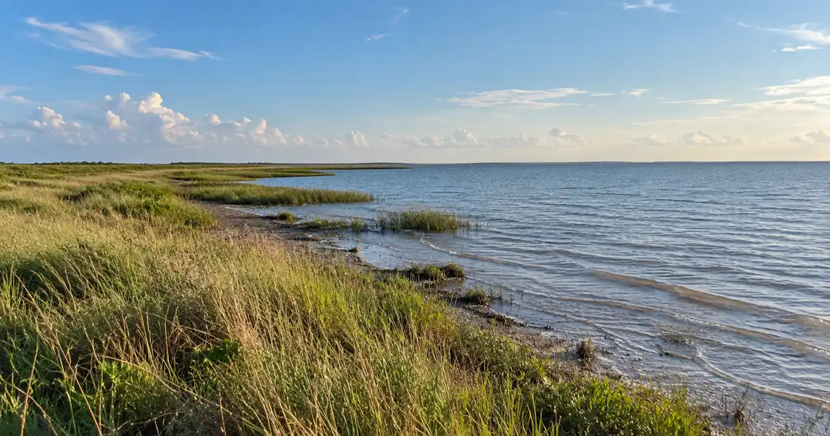
Where Texas Highway 316 terminates at the edge of Matagorda Bay, gentle tides lap against the forgotten remnants of what was once the gateway to Texas. Today, the indianola texas ghost town attracts coastal road trippers, maritime history researchers, and bay anglers seeking submerged ruins and tragic storm history.
Note
Part of our comprehensive Texas Ghost Towns Road Trip Guide. Explore our full frontier itinerary, boomtown histories, and regional itineraries.
Key takeaways
- Indianola sits 15 miles south of Port Lavaca at the southern terminus of Texas Highway 316 in Calhoun County.
- The settlement once served as the second-largest seaport in Texas before catastrophic hurricanes in 1875 and 1886 forced its complete abandonment.
- Visitors can explore the 1936 Sieur de La Salle granite monument, beachside historical markers, and submerged foundations visible at low tide.
- Modern amenities center around the Indianola Fishing Marina on Powderhorn Bayou, lighted fishing piers, and open beachfront camping.
Plan your visit
Verified
- Location
- Texas Highway 316 South, Port Lavaca, TX 77979
- Hours
- Public shoreline: 24/7; Marina: Daily 6am-10pm
- Admission
- Shoreline ruins free; Marina fishing pass $6
- Best time to go
- Fall through spring; extreme low tide for ruins
Queen City of the Gulf: Indianola’s Rise as Texas’ Second Deepwater Port
Founded in 1846 as Indian Point, Indianola grew into the second-busiest deepwater seaport in Texas, serving as the main entry portal for thousands of German immigrants and US military freight before natural disasters struck.
During the mid-nineteenth century, Indianola rivaled Galveston in commercial importance. Historical archives from the Texas State Historical Association Handbook of Texas: Indianola document that Prince Carl of Solms-Braunfels selected this sheltered natural harbor to welcome German pioneers bound for New Braunfels and Fredericksburg.
The booming port of indianola immigration handled passenger steamships, international trade cargo, and overland wagon trains. Learning about indianola texas history reveals how this harbor welcomed pioneers bound for New Braunfels and Fredericksburg.
By the early 1870s, the seaport city boasted a population approaching 5,000 residents, multi-story hotels, banks, rail connections, and two ocean shipping wharves. Much like the industrial coal empire at the Thurber ghost town ruins, Indianola was a vital economic engine built on rapid frontier expansion.
The Dual Cataclysms: The Hurricanes of 1875 and 1886
A devastating hurricane in September 1875 swept storm surges across Indianola killing between 150 and 300 residents, followed on August 19, 1886 by a second destructive hurricane and fire that forced the town’s permanent abandonment.
The geographic vulnerability of the barrier spit became tragically apparent during the indianola hurricane 1875 1886 sequence. In September 1875, an intense hurricane pushed fifteen feet of seawater across the unprotected streets, smashing wooden warehouses and sweeping entire neighborhoods into the bay. Despite horrific destruction and heavy loss of life, determined residents rebuilt their businesses on higher pilings.
Eleven years later, on August 19, 1886, an even stronger hurricane battered the reconstructed settlement. Storm surges destroyed every surviving wharf, tore apart the remaining commercial district, and triggered a fire from an overturned kerosene stove that consumed the rubble. For insights on severe weather patterns along the coast, review our Texas Gulf Coast hurricane season guide.
Following the 1886 disaster, residents realized that coastal sand bars offered no defense against Atlantic hurricanes. In 1887, the county government officially relocated inland, sealing Indianola’s place among the most tragic calhoun county texas ghost towns.
What Remains Today: Sunken Foundations, Historical Markers, and the La Salle Statue
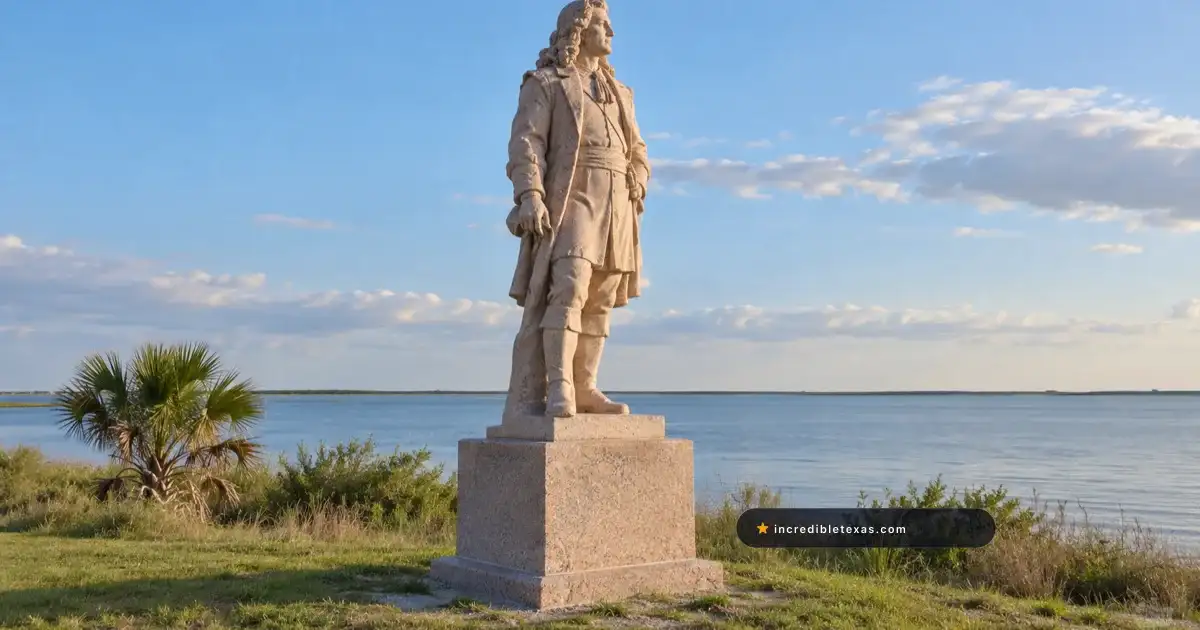
Visitors today find the 1936 granite statue of explorer Sieur de La Salle overlooking Matagorda Bay, historic cemetery headstones, informative markers, and sunken foundation cisterns visible in the shallow bay waters at low tide.
The most prominent roadside landmark is the la salle monument indianola tx, erected in 1936 during the Texas Centennial. The towering pink granite statue honors French explorer René-Robert Cavelier, Sieur de La Salle, who landed in Matagorda Bay in 1685 and established Fort St. Louis nearby. Official historical site listings are maintained through the Texas Historical Commission Historical Markers Portal.
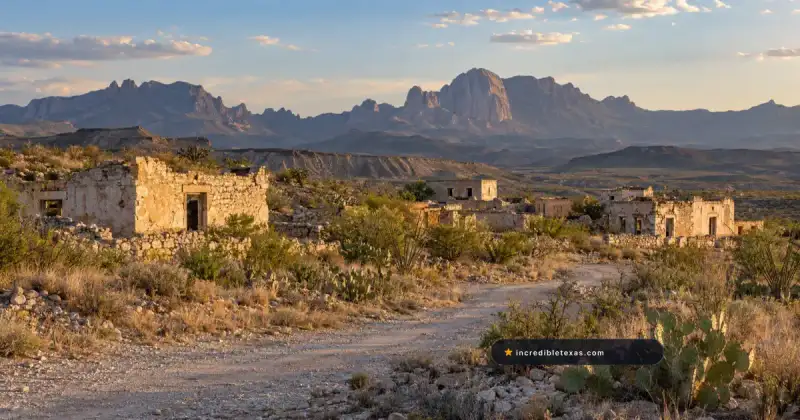
Wandering the shell shoreline reveals eerie physical traces of the submerged nineteenth-century port. During winter low tides, tourists can spot the matagorda bay sunken courthouse ruins, where brick cisterns and foundation blocks sit surrounded by lapping saltwater. These submerged indianola ghost town ruins illustrate the unrelenting power of the Gulf of Mexico.
| Landmark Feature | Location / Access | Historic Role | Visitor Experience |
|---|---|---|---|
| La Salle Monument | Highway 316 shoreline | 1936 Texas Centennial statue | Free roadside monument and photo stop |
| Sunken Courthouse Ruins | Offshore in bay shallows | 1857 Calhoun County Courthouse | Visible from shoreline during winter low tides |
| Indianola Cemetery | 0.5 miles inland off FM 316 | Pioneer and immigrant burial ground | Historic headstones dating from 1850 to 1886 |
| Camel Corps Marker | Near public boat ramp | 1856 US Army transport depot | Commemorative bronze historic plaque |
| Indianola Fishing Marina | Mouth of Powderhorn Bayou | Modern recreation harbor | Lighted pier, bait shop, boat launch, dining |
The Camel Corps Experiment and the Historic Immigrant Cemetery
In 1856, the US Army imported thirty-three Egyptian and North African camels through Indianola for southwest desert expeditions, commemorated today alongside the weathered tombstones of pioneer German and Swiss settlers.
Secretary of War Jefferson Davis believed camels could solve logistical hurdles in transporting military supplies across arid West Texas and Arizona. The us army camel corps indianola landing remains one of the most eccentric episodes in American military history. Soldiers unloaded the animals onto the wharf, conditioning them along the beach before marching toward Camp Verde in the Texas Hill Country.
A short drive down the county road leads to the Indianola Cemetery, situated on slightly elevated ground that survived the storm surges. Weathered marble and limestone headstones commemorate yellow fever victims, German immigrants, Civil War veterans, and children lost to coastal fevers.
Preservation groups maintain the cemetery grounds with care. Reading the German inscriptions reveals the personal stories of pioneering families who crossed the Atlantic only to face hardship along the wild Texas coastline.
Fishing, Paddling, and Camping Along Matagorda Bay
Modern Indianola operates as a popular coastal fishing hub anchored by the Indianola Fishing Marina on Powderhorn Bayou, lighted piers, shoreline wade fishing, and peaceful beachfront RV camping.
Anglers from across South Texas frequent the indianola fishing marina matagorda bay location for live bait, ice, tackle, and boat fuel. The protected waters around Powderhorn Bayou and Matagorda Bay hold healthy populations of redfish, spotted seatrout, and black drum.
Calhoun County maintains public beach parks along the shoreline where visitors can enjoy primitive beachfront camping and launch kayaks. Sea kayakers can paddle directly into the bay or explore adjacent marsh habitats preserved in the Powderhorn State Park visitor guide.
Naturalists can also learn about state conservation projects directly through the Texas Parks and Wildlife Department Powderhorn State Park. The confluence of open saltwater and brackish marsh creates prime conditions for coastal birding throughout the winter months.
Planning Your Trip: Driving Routes, Tides, and Regional Stops
Located 15 miles south of Port Lavaca at the southern end of Texas Highway 316, Indianola offers free daytime shoreline exploration and pairs naturally with excursions to Goliad or Powderhorn State Park.
Visitors traveling from Houston or Victoria follow US Highway 87 to Port Lavaca before heading south down Texas Highway 316. The highway curves along the coastline, passing salt marshes and shell beaches before dead-ending at the historic town marker.
Planning your trip around tidal forecasts yields the best results. Winter northers blow water out of Matagorda Bay, exposing the brick foundations and cisterns that remain underwater throughout high-tide summer months.
After inspecting the shoreline ruins, road trippers can venture northwest to tour the Spanish colonial mission and historic battlegrounds at Goliad State Park and Historic Site. Combining coastal ghost town history with inland mission architecture delivers a comprehensive window into early Texas history.
Frequently Asked Questions About Indianola Texas
Can you see the sunken ruins of Indianola?
Submerged brick foundations and cisterns of the 1850s courthouse and warehouse docks can be viewed from the shoreline during extreme winter low tides and calm weather. Travelers should avoid climbing onto slippery submerged rubble due to sharp oyster shells and shifting coastal sands.
Is Indianola Texas free to visit?
Visiting the historical roadside markers, the Sieur de La Salle monument, and public beach parks along Highway 316 is completely free year-round. Paid passes are required only for lighted fishing pier access and private boat slips at the marina.
Why did people abandon Indianola instead of rebuilding?
After the catastrophic 1886 hurricane and post-storm fire flattened the town for a second time, residents recognized that the low sand spit was indefensible against major Gulf hurricanes. The county voted in 1887 to move the Calhoun County government permanently inland to Port Lavaca.
Can you fish and camp at Indianola beach?
Anglers can fish directly from the beachfront or access lighted piers and boat launches at the Indianola Fishing Marina on Powderhorn Bayou. Primitive RV and vehicle beach camping is permitted across designated Calhoun County coastal tracts.