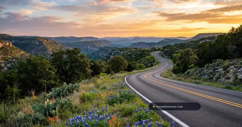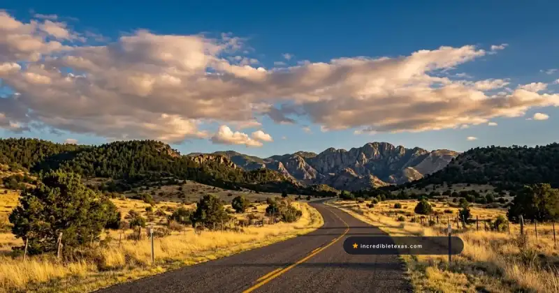
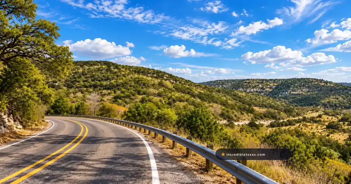
Deep in the rugged canyon country of the western Texas Hill Country, three quiet rural roads form a legendary driving circuit known nationwide as the Twisted Sisters. Also referred to as the Three Sisters, this 100-mile paved loop delivers steep elevation drops, hairpin switchbacks, and clear river crossings through the Nueces, Frio, and Sabinal river basins.
Part of our comprehensive guide to the Most Scenic Drives in Texas. Discover all seven iconic Lone Star scenic byways, mountain passes, and backcountry routes.
Key takeaways
- The Twisted Sisters loop spans approximately 100 miles across Ranch Roads 335, 336, 337, and State Highway 41.
- Ranch Road 337 packs over 65 sharp curves and canyon elevation changes into a single 15-mile section between Leakey and Vanderpool.
- The route cuts through three dramatic river corridors: the crystal-clear Nueces, Frio, and Sabinal river basins.
- Free-range cattle, exotic axis deer, and loose caliche gravel on decreasing-radius turns require disciplined speed control.
- Fuel is available only in gateway towns like Leakey, Camp Wood, and Medina, with zero services or cell coverage on the northern loop.
Route Blueprint: Mapping the 100-Mile Twisted Sisters Circuit
The Twisted Sisters scenic drive, also known as the Three Sisters, forms a 100-mile loop through the western Texas Hill Country using Ranch Roads 335, 336, and 337 connected by State Highway 41. Featuring over 200 curves and switchbacks across Real, Bandera, and Edwards counties, it delivers Texas’s top technical motorcycle and driving experience.
The Loop Geometry: RR 335, RR 336, RR 337, and Highway 41
The circuit forms a rough triangle anchored on the south by Ranch Road 337. Ranch Road 335 forms the western vertical leg running north from Camp Wood, while Ranch Road 336 forms the eastern vertical leg running north from Leakey.
State Highway 41 forms the northern cap, connecting the top of RR 335 with the top of RR 336 across fifteen miles of flat plateau scrubland. While other Central Texas routes like the Devil’s Backbone scenic drive on RM 32 offer gentle ridge vistas, the Twisted Sisters present severe canyon switchbacks and steep vertical elevation changes that demand constant driver focus.
Clockwise vs Counter-Clockwise Navigation Strategy
Most touring motorcyclists and sports car drivers choose to ride the loop counter-clockwise, beginning in Leakey or Medina. Traveling counter-clockwise positions your vehicle on the outside edge of canyon precipices along RR 337, providing superior sightlines into the river valleys below.
Heading north on RR 335 in the morning keeps the low sun behind your shoulders, illuminating the pale limestone canyon walls of the Nueces River. By afternoon, riders conclude their journey heading east on RR 337 as golden sunlight washes across the cedar-covered bluffs.
| Highway Leg | Designation | Distance | Primary River Basin | Elevation Character |
|---|---|---|---|---|
| Southern Spine | Ranch Road 337 | 56 miles (Medina to Camp Wood) | Sabinal & Frio Rivers | Dramatic mountain climbs & switchbacks |
| Western Border | Ranch Road 335 | 29 miles (Camp Wood to TX-41) | Upper Nueces River | Spring-fed river valleys & cliff ledges |
| Eastern Ascent | Ranch Road 336 | 27 miles (Leakey to TX-41) | West Frio River & Divide | High plateau passes & roller-coaster dips |
| Northern Connector | State Highway 41 | 15 miles (linking 335 to 336) | Edwards Plateau Uplands | Flat, straight ranch land connector |
Ranch Road 337: The Spine of the Canyons from Medina to Camp Wood
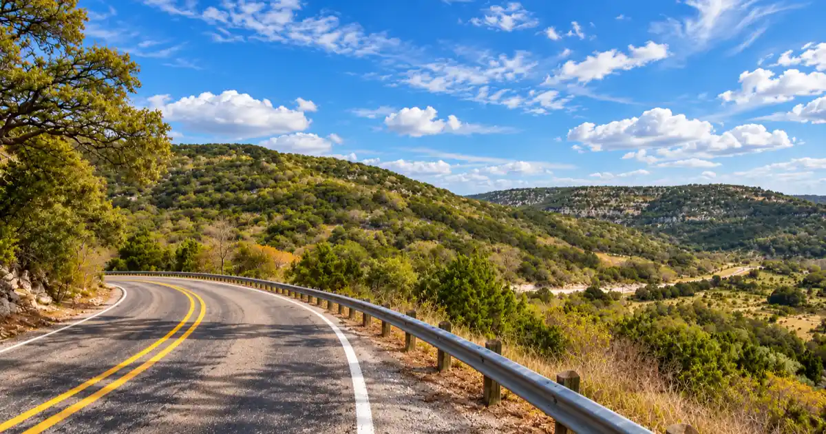
Ranch Road 337 serves as the southern anchor of the Twisted Sisters, covering 56 dramatic miles between Medina, Vanderpool, Leakey, and Camp Wood. The 15-mile stretch between Vanderpool and Leakey climbs hundreds of feet above the Sabinal and Frio river canyons with more than 65 sharp switchbacks.
Vanderpool to Leakey: 65 Curves Over the Sabinal Divide
Leaving Vanderpool heading west, RR 337 immediately begins a series of steep ascending S-curves carved into sheer limestone bluffs. The road climbs to an elevation of over 2,200 feet, crossing the high drainage divide that separates the Sabinal River from the Frio River watershed.
Advisory speed signs frequently indicate 15 and 20 miles per hour around blind, off-camber curves. Guardrails are sparse or nonexistent along several sheer drop-offs, rewarding disciplined corner entry and smooth throttle application.
Travelers looking for overnight camping or river recreation after negotiating these switchbacks can head ten miles south of Leakey to reach Garner State Park along the Frio River, referencing the Texas Parks and Wildlife Department Garner State Park Portal for seasonal day-pass rules.
Crossing the Frio River and Climbing into Camp Wood
After descending through the tight canyon twisties into the Frio River valley, RR 337 crosses US Highway 83 in downtown Leakey. West of Leakey, the highway enters Real County’s most remote mountain terrain, climbing steeply over the West Frio canyon divide before winding down into Camp Wood.
This western sector features broad vistas of isolated box canyons where wild Spanish goats and aoudad sheep graze along rocky ledges. The asphalt surface is modern and well-maintained, though autumn rain showers can deposit slick mud films across low-water crossing aprons.
Important
Several descending switchbacks on RR 337 feature decreasing-radius curves that tighten unexpectedly past the apex. Always complete your braking in a straight line before entering turns, and avoid heavy trail-braking that could cause front-tire washouts on loose limestone caliche gravel.
Ranch Roads 335 and 336: River Valleys, Cattle Guards, and Plateaus
Ranch Road 335 tracks the turquoise pools of the upper Nueces River along 29 miles of sheer limestone bluffs, while Ranch Road 336 climbs 27 miles over high Edwards Plateau pastureland. Both roads feature multiple metal cattle guards, open-range grazing zones, and roller-coaster vertical drops.
RR 335 Along the Spring-Fed Nueces River
Ranch Road 335 begins at the western terminus of RR 337 in Camp Wood, heading due north toward Highway 41. The highway traces the meandering channel of the upper Nueces River, where gin-clear spring water pools beneath towering bald cypress and pecan trees.
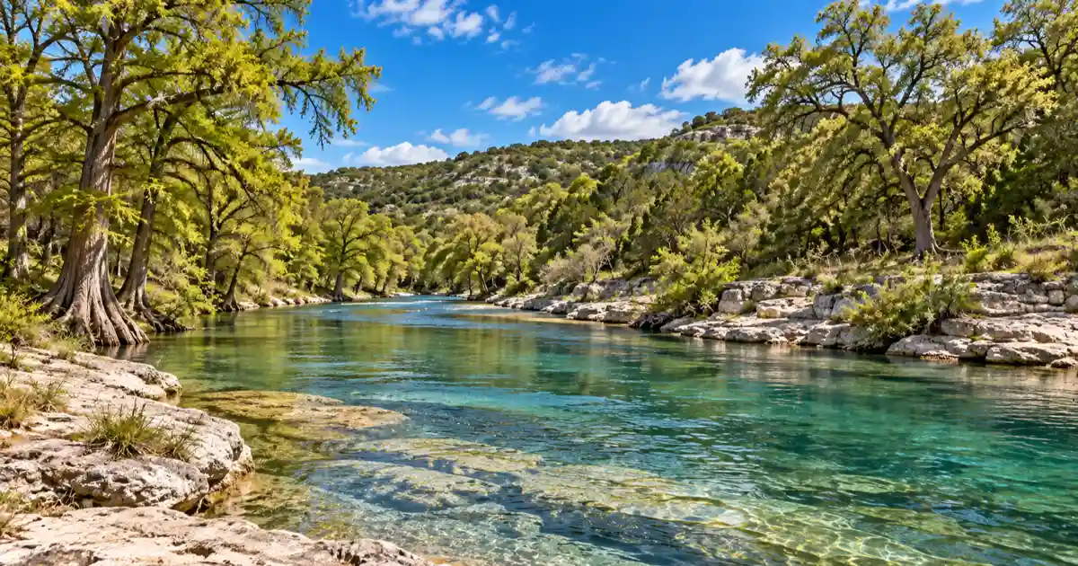
Unlike the sheer mountain drops of RR 337, RR 335 flows gently along the valley floor before climbing through winding limestone gaps near the historic community of Vance. Drivers who appreciate dramatic desert river drives will recognize similarities to the canyon bluffs along FM 170 River Road in Big Bend, though the Nueces corridor is defined by lush spring-fed greenery.
RR 336 Roller Coasters and High Limestone Plateaus
Ranch Road 336 departs Leakey heading north, immediately climbing out of the Frio River basin via a sequence of rapid vertical dips and steep hill crests. The road traverses active sheep, goat, and cattle ranches, crossing over ten metal cattle guards embedded directly into the pavement.
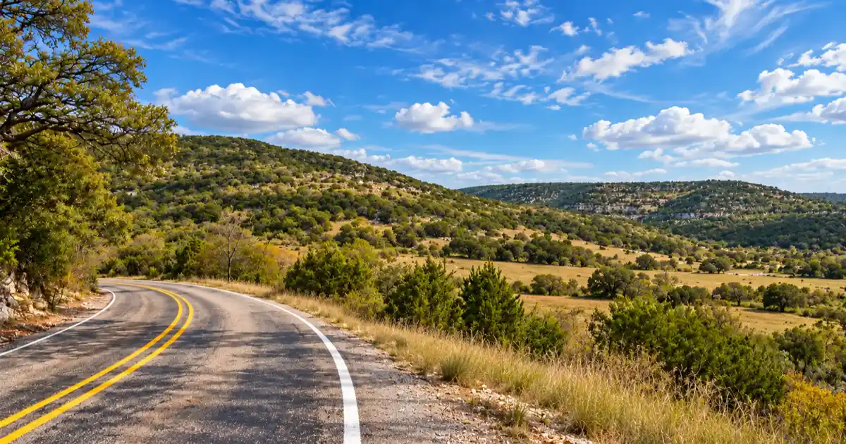
These cattle guard crossings are often raised slightly above the asphalt surface, creating severe jarring impacts for low-clearance sports cars and motorcycles that hit them at high speeds. Approaching Highway 41, the road crests the Edwards Plateau, where wide open blue skies and expansive mesquite savannas replace the tight canyon walls.
| Highway Feature | Ranch Road 335 | Ranch Road 336 | Ranch Road 337 |
|---|---|---|---|
| Primary Route Terrain | Nueces River valley & bluffs | High plateau passes & dips | Steep canyon rims & passes |
| Total Curves | Moderate (~50 curves) | High (~75 curves) | Extreme (100+ curves) |
| Cattle Guard Crossings | 2 to 3 crossings | 8 to 12 crossings | 0 (fully fenced corridor) |
| Average Travel Speed | 45 to 55 mph | 40 to 50 mph | 30 to 45 mph |
| Signature Attraction | Spring-fed river vistas & Vance | Roller-coaster vertical dips | 65 curves between Leakey/Vanderpool |
Must-Visit Roadside Stops: Lone Star Motorcycle Museum to Frio Overlooks
Along the Twisted Sisters loop, travelers can tour the Lone Star Motorcycle Museum in Vanderpool to view vintage British and European bikes, refuel at the Frio Canyon Motorcycle Stop in Leakey, or take a short detour to hike the maple canyons of Lost Maples State Natural Area.
Lone Star Motorcycle Museum and Vanderpool History
Situated along RR 337 four miles west of Vanderpool, the Lone Star Motorcycle Museum houses a world-class collection of vintage motorcycles dating from 1910 to the present day. Founded by Australian road racer Allan Johncock, the museum exhibits classic Vincents, BSAs, Triumphs, and Nortons alongside racing memorabilia.
The on-site Ace Cafe serves hearty homemade burgers, Australian meat pies, and cold drinks on weekends from March through November. It represents an indispensable social hub where cross-country riders gather to trade route tips and admire historic machinery.
Frio Canyon Motorcycle Stop and Bent Rim Grill in Leakey
Located at the intersection of RR 337 and US 83 in Leakey, the Frio Canyon Motorcycle Stop is the unofficial headquarters of the Twisted Sisters. The store carries branded route apparel, protective riding gear, and local maps, while an outdoor patio allows visitors to watch custom bikes rumble through town.
Directly adjacent sits the Bent Rim Grill, renowned for its stacked Angus burgers, seasoned fries, and shaded outdoor dining deck overlooking the surrounding hills. It provides an ideal lunch stop halfway through your circuit.
Lost Maples State Natural Area Detour
Five miles north of Vanderpool on FM 187 sits one of Texas’s most celebrated state parks. According to the Texas Parks and Wildlife Department Lost Maples State Natural Area Guide, the canyon preserves an isolated relict stand of Uvalde bigtooth maples that burst into brilliant red and orange autumn foliage each November.
Hikers can review our comprehensive Lost Maples State Natural Area hiking guide to plan day hikes to Monkey Rock and scenic canyon rim overlooks.
| Roadside Landmark | Location / Highway | Key Feature / Experience | Operating Season |
|---|---|---|---|
| Lone Star Motorcycle Museum | RR 337 (Vanderpool) | Vintage European bikes & Ace Cafe pies | Fri-Sun (March to November) |
| Frio Canyon Motorcycle Stop | Junction RR 337 & US 83 | Route t-shirts, patches, and riding gear | Open daily year-round |
| Bent Rim Grill | US 83 (Leakey) | Angus burgers & outdoor dining deck | Wed-Sun (lunch and dinner) |
| Lost Maples Natural Area | FM 187 (near Vanderpool) | Canyon hikes & autumn fall foliage | Open daily (reservations required) |
| Camp Wood Frontier Museum | Downtown Camp Wood | Mission San Lorenzo frontier history | Seasonal weekend hours |
Critical Rider and Driver Safety: Managing Open Range, Wildlife, and Gravel
Riding the Twisted Sisters safely requires strict lane discipline, defensive curve entry speeds, and constant awareness of open-range cattle and exotic axis deer. Drivers must prepare for total cellular dead zones, lack of paved shoulders, and steep unbarricaded drop-offs.
Free-Range Cattle, Axis Deer, and Roadside Wildlife Hazards
Ranch Roads 335 and 336 cross designated open-range ranch territory, where property owners are not legally obligated to fence livestock away from the public roadway. Cattle, sheep, and feral goats frequently bed down on the warm asphalt after dark or stand around blind curves.
Exotic axis deer and native white-tailed deer roam the canyons in large numbers, frequently leaping across fences directly into traffic lanes. According to the Texas Department of Transportation Highway Safety Division, wildlife strikes and curve-related lane departures represent the primary causes of serious motorcycle collisions in rural Texas counties.
Travelers looking for calm, family-friendly riverside outings after navigating these remote canyons can also spend an afternoon enjoying the spring waters of Blanco State Park.
Fuel Planning, Cellular Dead Zones, and Medical Response Realities
Gas stations are completely absent along the 45-mile northern half of the loop connecting Camp Wood, Highway 41, and northern RR 336. Motorcyclists with small peanut tanks must top off fuel before departing Leakey or Camp Wood to avoid running dry.
Cellular reception is unavailable throughout most of Real and Edwards counties. In the event of a mechanical breakdown or emergency, medical rescue helicopters and local volunteer EMS units can take significant time to reach remote canyon coordinates. Travel with a companion vehicle or carry a satellite emergency messenger device.
Warning
In open-range counties in Texas, cattle and horses have the legal right-of-way on unfenced sections of Ranch Road 335 and 336. If you strike free-roaming livestock, you may be held liable for property damage to the animal. Always maintain speeds that allow full stopping within your visible headlight range.
Frequently Asked Questions About the Twisted Sisters
What roads make up the Twisted Sisters in Texas?
The Twisted Sisters route consists of Ranch Road 335, Ranch Road 336, and Ranch Road 337, connected along the northern perimeter by State Highway 41 to complete a continuous loop.
How many miles is the Twisted Sisters drive in Texas?
The core three-road loop measures approximately 100 miles. Starting and ending in regional hubs like Medina, Kerrville, or Bandera expands the total day-trip circuit to 130 to 170 miles.
Is the Twisted Sisters dangerous to drive in a regular car?
No, standard passenger cars and sports cars navigate the paved highway smoothly provided drivers obey posted advisory curve speeds. However, oversized motorhomes and large travel trailers should avoid the route due to extreme grade changes and sharp switchbacks.
What direction is best to drive the Twisted Sisters?
Driving counter-clockwise is generally preferred by motorcycle tourers because it positions riders on the outside lane of canyon drop-offs on RR 337 while offering optimal morning lighting over the Sabinal and Frio valleys.
Where do you get gas on the Twisted Sisters loop?
Gasoline is available only in the southern gateway towns of Leakey, Camp Wood, and Medina. There are zero fuel stations or commercial services along the northern half of the loop on Highway 41 or the northern stretches of RR 335 and RR 336.
How long does it take to drive the Twisted Sisters?
Riding the 100-mile loop nonstop takes approximately 2.5 to 3 hours at safe speeds. Travelers stopping for lunch in Leakey, exploring Lost Maples, and browsing the Lone Star Motorcycle Museum should budget 5 to 7 hours.
What motorcycle stops and attractions are along the route?
Top roadside stops include the Lone Star Motorcycle Museum in Vanderpool, the Frio Canyon Motorcycle Stop and Bent Rim Grill in Leakey, and scenic overlooks above the Frio River canyon.