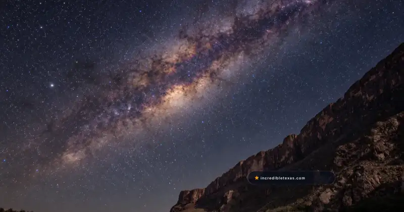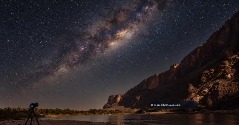
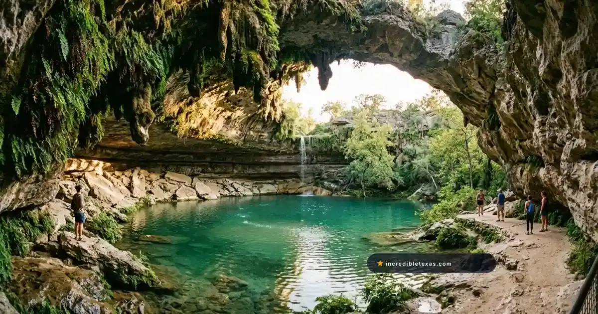
Most out-of-state travelers imagine Texas as an endless expanse of flat brushland, cattle ranches, and oil wells. Exploring these remarkable places in Texas that don’t look like Texas reveals unreal landscapes in Texas that shatter every regional stereotype, from tropical limestone grottos to Sahara-like sand dunes and prehistoric swamps.
Key takeaways
- Texas contains 10 distinct ecological regions spanning 268,597 square miles, creating radical geological contrasts within a single state boundary.
- Hamilton Pool Preserve features a 50-foot natural waterfall falling into a collapsed limestone grotto that looks like Bali or Hawaii.
- Monahans Sandhills State Park protects nearly 4,000 acres of 70-foot silica dunes that mimic the Sahara Desert.
- Balmorhea State Park holds a 1.3-acre, 25-foot-deep spring pool that operates like an aquatic Caribbean oasis in the high desert.
- Caddo Lake is the only large natural freshwater lake in Texas, preserving 25,400 acres of moss-draped bald cypress bayous.
What Makes Texas Home to Such Surreal Landscapes?
Texas encompasses 10 distinct ecological regions spanning 268,597 square miles. Ancient shallow seas, volcanic uplift, river erosion, and artesian fault springs created geological pockets that look like tropical islands, African deserts, and prehistoric wetlands rather than stereotypical flat rangeland.
Road trippers examining places in Texas that dont look like Texas quickly realize how radical terrain shifts occur within a three-hour drive. An afternoon excursion can lead from limestone hill country directly into dense cypress bayous or vast desert expanses.
Discovering these surreal places in Texas proves that the state holds unique landscapes in Texas capable of rivaling international travel bucket lists.
These geological anomalies also produce Texas places that look like other countries, where travelers can photograph scenes reminiscent of Costa Rica, Norway, Egypt, and Iceland without leaving the state.
| Destination | Location & Region | Signature Landscape | Global Lookalike | Primary Activity |
|---|---|---|---|---|
| Hamilton Pool Preserve | Dripping Springs (Hill Country) | Collapsed grotto & 50-ft waterfall | Bali / Costa Rica | Photography & hiking |
| Monahans Sandhills | Monahans (West Texas) | 70-ft white silica sand dunes | Sahara Desert / Arabian Peninsula | Sand surfing & dune hiking |
| Caddo Lake | Karnack (Piney Woods) | 25,400-acre bald cypress bayou | Florida Everglades / Louisiana | Kayaking & boat tours |
| Balmorhea State Park | Toyahvale (Trans-Pecos) | 1.3-acre spring pool (74°F) | Caribbean Coral Reef | Scuba diving & swimming |
| Gorman Falls | Bend (Hill Country) | 65-ft living travertine waterfall | Tropical Rainforest | Canyon hiking |
| Enchanted Rock | Fredericksburg (Hill Country) | 425-ft pink granite batholith | Planet Mars / Australian Outback | Summit trail climbing |
| Santa Elena Canyon | Big Bend National Park | 1,500-ft sheer limestone gorge | Norwegian Fjord | River paddling & hiking |
| Palo Duro Canyon | Canyon (Panhandle) | 120-mile red-rock canyon | Grand Canyon / Utah Badlands | Mountain biking & camping |
1. Hamilton Pool Preserve: The Tropical Grotto in Dripping Springs
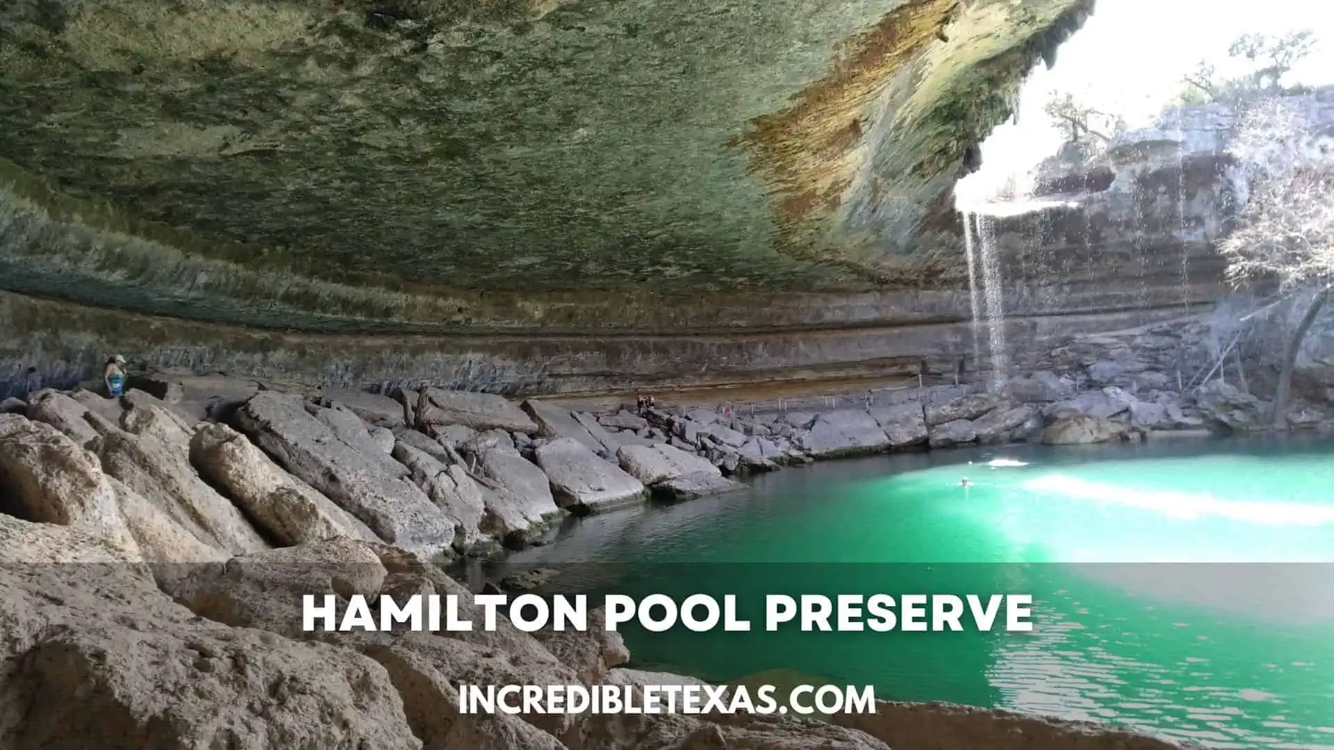
Hamilton Pool Preserve features a 50-foot waterfall plunging over a collapsed limestone grotto into a jade-green pool surrounded by lush ferns and weeping stalactites. Located in Dripping Springs, this sheltered canyon feels like a tropical oasis in Bali or Costa Rica.
Thousands of years of underground water erosion dissolved the ceiling of a subterranean river cavern, creating this amphitheater. The pool never dries up completely, fed by Hamilton Creek and natural artesian seepage that trickles down the curved limestone overhang.
Visitors planning a day trip to Hamilton Pool Preserve Dripping Springs should consult our comprehensive Hamilton Pool Preserve guide for parking and seasonal permit updates. Access is managed through the Travis County Parks Hamilton Pool Portal, which requires advance morning or afternoon vehicle reservations.
- Location: 24300 Hamilton Pool Road, Dripping Springs, TX
- Entry Fee: $12 online reservation fee plus $8 per adult cash entry at gate
- Key Feature: 50-foot waterfall that never dries out entirely, spilling into a jade basin
- Reservation Requirement: Mandatory advance booking year-round via Travis County Parks
2. Monahans Sandhills State Park: The Sahara of West Texas
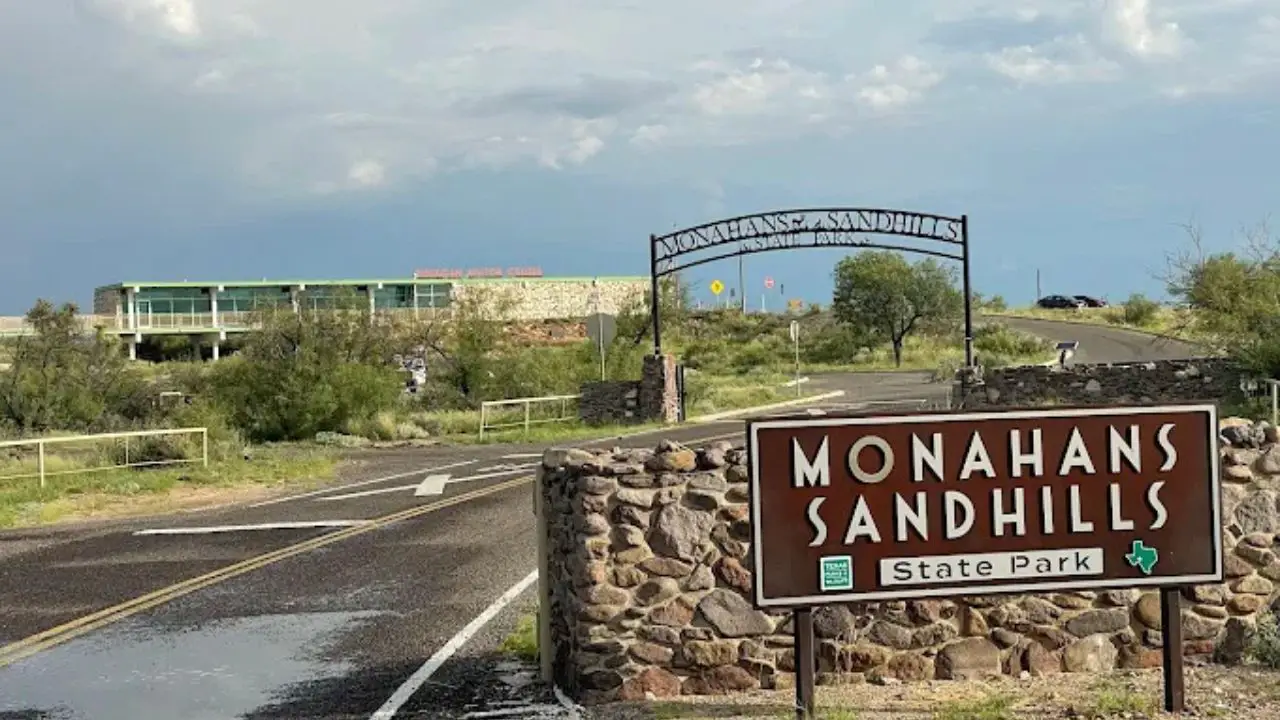
Monahans Sandhills State Park features shifting 70-foot dunes of pale silica sand that stretch across nearly 4,000 acres of West Texas. Resembling the Sahara Desert or the planet Arrakis, these dunes sit atop an underground forest of miniature Havard oaks.
Wind currents continuously reshape the crests of monahans sandhills state park dunes, creating fresh ripples and sweeping curves every morning. Unlike typical beach sand, this wind-blown quartz sand stays remarkably pale and powdery, reflecting brilliant white light under open desert skies.
Beneath the sand lies one of the most unusual botanical systems in North America. The miniature Havard oaks rarely grow taller than three feet above ground, but their root networks plunge up to 90 feet downward to tap into subterranean water tables.
Visitors can explore hiking trails and rent sand disks for sledding by reviewing our Monahans Sandhills State Park guide. Entry permits are secured through the Texas Parks and Wildlife Monahans Sandhills Portal for $4 per adult.
- Location: Park Road 41, Monahans, TX
- Entry Fee: $4 per adult; children 12 and under enter free
- Key Feature: 70-foot shifting silica dunes and miniature Havard oak forest
- Visitor Tip: Rent heavy-duty plastic sand disks and wax at the park headquarters for dune surfing
3. Caddo Lake State Park: The Prehistoric Cypress Bayou
Caddo Lake State Park encompasses a 25,400-acre maze of dark bayous and sloughs dominated by ancient bald cypress trees draped in heavy Spanish moss. As the only large natural freshwater lake in Texas, it resembles the Florida Everglades or a primordial wetland.
Paddling through the slow-moving boat roads feels like traveling backwards into the Jurassic era. Trunks of old-growth cypress flare outward at the waterline into massive buttress roots, surrounded by thousands of woody “knees” that poke above dark, tannin-rich waters.
Paddling the caddo lake state park cypress bayou requires following numbered trail markers posted on tree trunks across 10 marked paddling trails. The bayou sustains diverse wildlife, including American alligators, river otters, and over 200 species of migratory birds.
Paddlers can read our detailed Caddo Lake State Park visitor guide for boat launch locations and rental outfitters. Advance day passes cost $4 per adult on the Texas Parks and Wildlife Caddo Lake Portal.
- Location: 245 Park Road 2, Karnack, TX
- Entry Fee: $4 per adult; children 12 and under enter free
- Key Feature: Texas’s only large natural lake, featuring 25,400 acres of cypress sloughs
- Top Activity: Renting a canoe or kayak at Saw Mill Pond to explore the Hell’s Half Acre water trail
4. Balmorhea State Park: The Caribbean Desert Oasis
Balmorhea State Park holds the world’s largest spring-fed swimming pool, a 1.3-acre aquatic basin fed by artesian spring waters that remain 72 to 76 degrees year-round. Located in the high Chihuahuan Desert, this crystalline pool looks like a Caribbean reef oasis.
Between 22 and 28 million gallons of clear, mineral-rich water pump through San Solomon Springs every single day. The water enters the pool through natural gravel vents, creating underwater visibility exceeding 80 feet without the use of chemical treatment or chlorine.
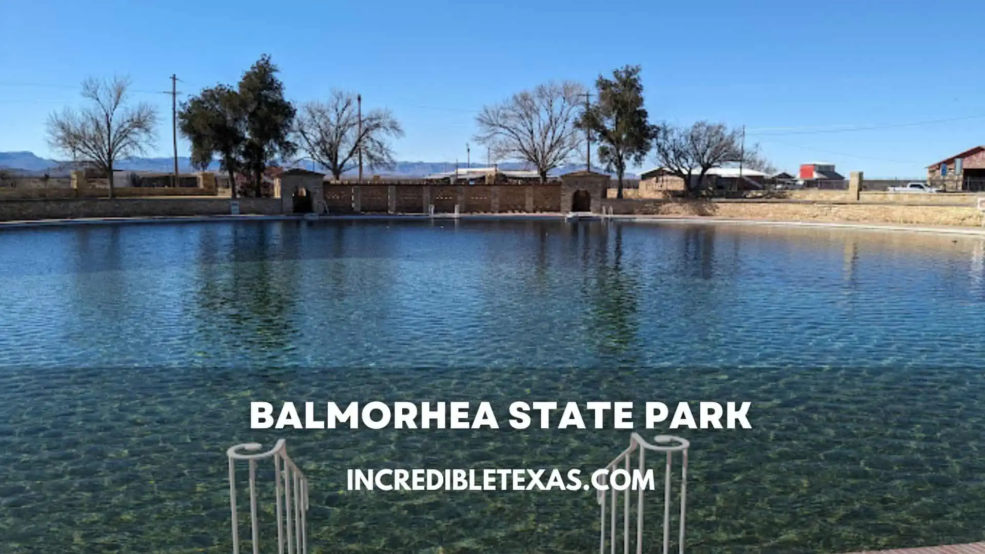
The balmorhea state park desert oasis features a maximum depth of 25 feet near its central diving well. It is one of the only inland public state park facilities in North America where certified scuba divers can descend alongside rare, federally protected Comanche Springs pupfish.
Swimmers and campers can review lodging options in our Balmorhea State Park guide. Day passes are $7 per adult and must be reserved in advance through the Texas Parks and Wildlife Balmorhea Portal due to strict 650-visitor daily limits.
- Location: 9207 TX-17, Toyahvale, TX
- Entry Fee: $7 per adult; free for children 12 and under
- Key Feature: 1.3-acre spring-fed swimming pool maintaining 72 to 76 degrees year-round
- Scuba Rules: Open to certified divers using the buddy system for an additional $5 activity fee
5. Gorman Falls at Colorado Bend: The Living Rainforest Waterfall
Gorman Falls at Colorado Bend State Park is a 65-foot living travertine waterfall sheltered in a humid canyon pocket along the Colorado River. Fed by mineral-rich springs, the calcium-encrusted cliff continually grows outward, creating a lush wall of ferns that resembles a tropical rainforest.
Unlike typical waterfalls that erode and recede backward over time, Gorman Falls actively expands. High concentrations of dissolved carbon dioxide and calcium carbonate precipitate upon contact with the open air, depositing stone layers across delicate maidenhair ferns and mosses.
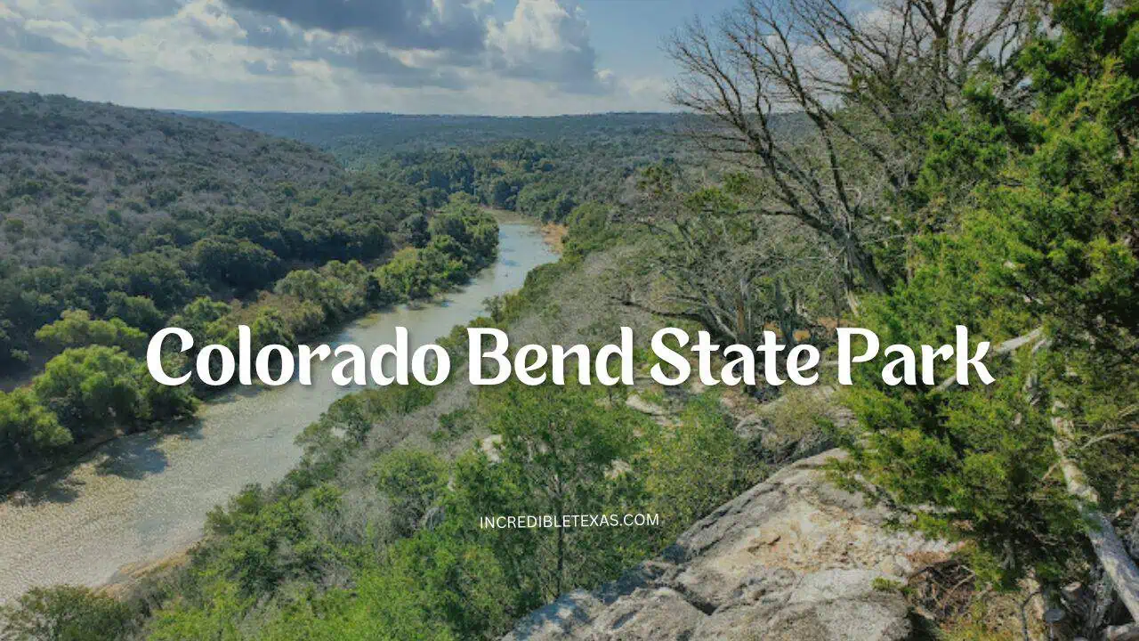
Reaching the gorman falls colorado bend waterfall requires a three-mile round-trip hike across rocky limestone ledges and cedar glades. The final descent into the river canyon features steep rock faces fitted with steel safety cables to assist hikers with slick footing.
Travelers can plan trail routes and campsite bookings through our Colorado Bend State Park guide. Day entry is $5 per adult through the Texas Parks and Wildlife Colorado Bend Portal.
- Location: 2236 Park Hill Drive, Bend, TX
- Entry Fee: $5 per adult; children 12 and under enter free
- Trail Distance: 3.0 miles round-trip with steep limestone switchbacks near the falls
- Important Rule: Hikers must stay on viewing decks; touching the fragile travertine mineral wall is prohibited
6. Enchanted Rock State Natural Area: The Martian Pink Granite Batholith
Enchanted Rock State Natural Area centers around a massive 425-foot pink granite dome rising 1,825 feet above sea level in the Texas Hill Country. Spanning 640 acres of exposed, smooth stone, the landscape feels like walking across the barren, pink-hued surface of Mars.
Geologists categorize Enchanted Rock as an exfoliation dome, a giant subterranean bubble of magma that cooled underground over one billion years ago before surface erosion exposed it. As temperature swings heat and cool the granite, sheets of outer stone peel away like layers of an onion.
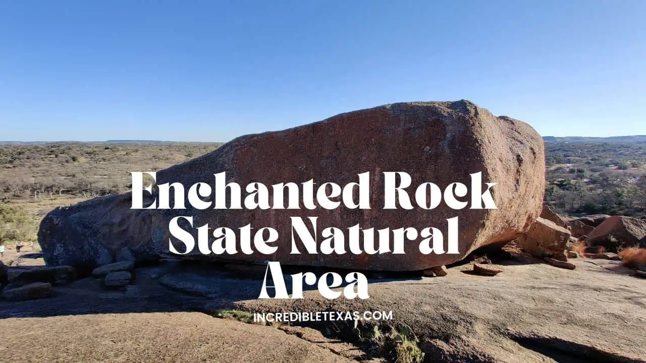
Reaching the summit of this enchanted rock pink granite dome requires tackling a steep 0.6-mile trek with 425 feet of elevation gain across bare rock. At the top, hikers discover natural vernal pools carved into granite depressions that host tiny, translucent fairy shrimp during spring rains.
Before driving out, review summit safety checklists in our Enchanted Rock State Natural Area guide. Park entry costs $8 per adult on the Texas Parks and Wildlife Enchanted Rock Portal, with weekend tickets frequently selling out weeks ahead.
- Location: 16710 Ranch Road 965, Fredericksburg, TX
- Entry Fee: $8 per adult; children 12 and under enter free
- Key Feature: 640-acre pink granite batholith rising 425 feet above the surrounding valley
- Safety Advisory: The Summit Trail closes immediately during rain because wet granite becomes dangerously slippery
7. Santa Elena Canyon at Big Bend: The Limestone Desert Fjord
Santa Elena Canyon in Big Bend National Park features 1,500-foot vertical limestone cliffs that rise straight out of the green waters of the Rio Grande. Carved through the Mesa de Anguila, this dramatic gorge resembles a Scandinavian fjord cutting through a desert plateau.
Standing at the water’s edge, travelers gaze upward at sheer canyon walls that block out direct sunlight for much of the day. The international boundary runs down the center of the river channel, meaning the left wall belongs to the United States and the right wall belongs to Chihuahua, Mexico.
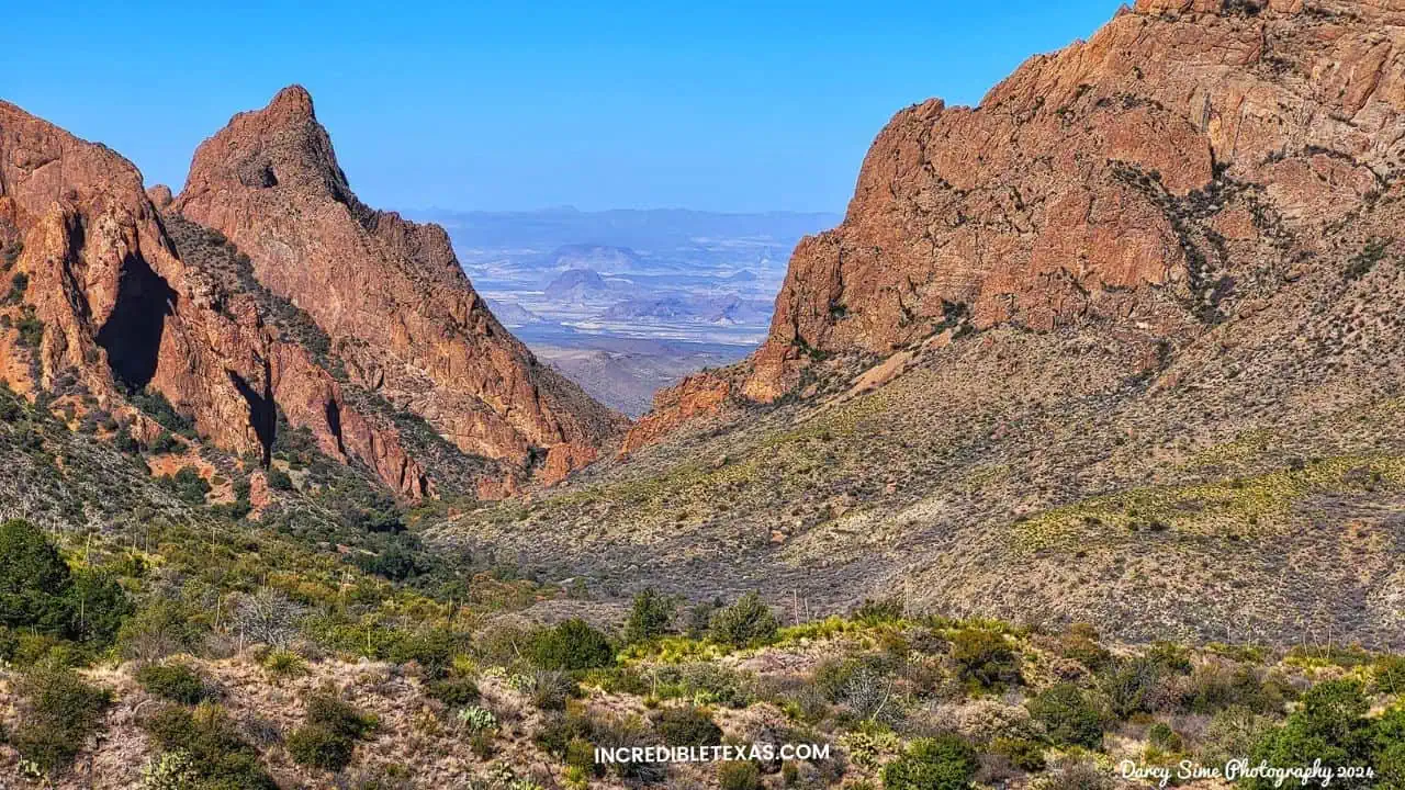
Exploring the santa elena canyon big bend national park trail begins by crossing the gravel flats of Terlingua Creek. Hikers climb concrete switchbacks before descending to a quiet gravel bench shaded by river willows inside the towering limestone breach.
Travelers planning a West Texas journey can review backcountry routes in our Big Bend National Park guide. Park entry is $30 per vehicle on the National Park Service Big Bend Portal and remains valid for seven consecutive days.
- Location: Ross Maxwell Scenic Drive, Big Bend National Park, TX
- Entry Fee: $30 per vehicle (valid for 7 days across the entire national park)
- Trail Length: 1.7 miles round-trip with 80 feet of elevation gain along the canyon floor
- Seasonal Advisory: Terlingua Creek crossing can require wading through waist-deep mud after summer monsoon storms
8. Palo Duro Canyon State Park: The Grand Canyon of Texas
Palo Duro Canyon State Park protects the second-largest canyon system in the United States, spanning 120 miles with depths reaching 1,000 feet. Located in the flat Texas Panhandle, the rich red clay and lavender rock layers look like the canyon country of Utah or Arizona.
Carved by the Prairie Dog Town Fork of the Red River, the canyon exposes four distinct geological formations spanning 250 million years. Traveling from the windy rim down into the sheltered canyon floor brings an immediate 10-degree temperature jump and views of towering red-rock spires.
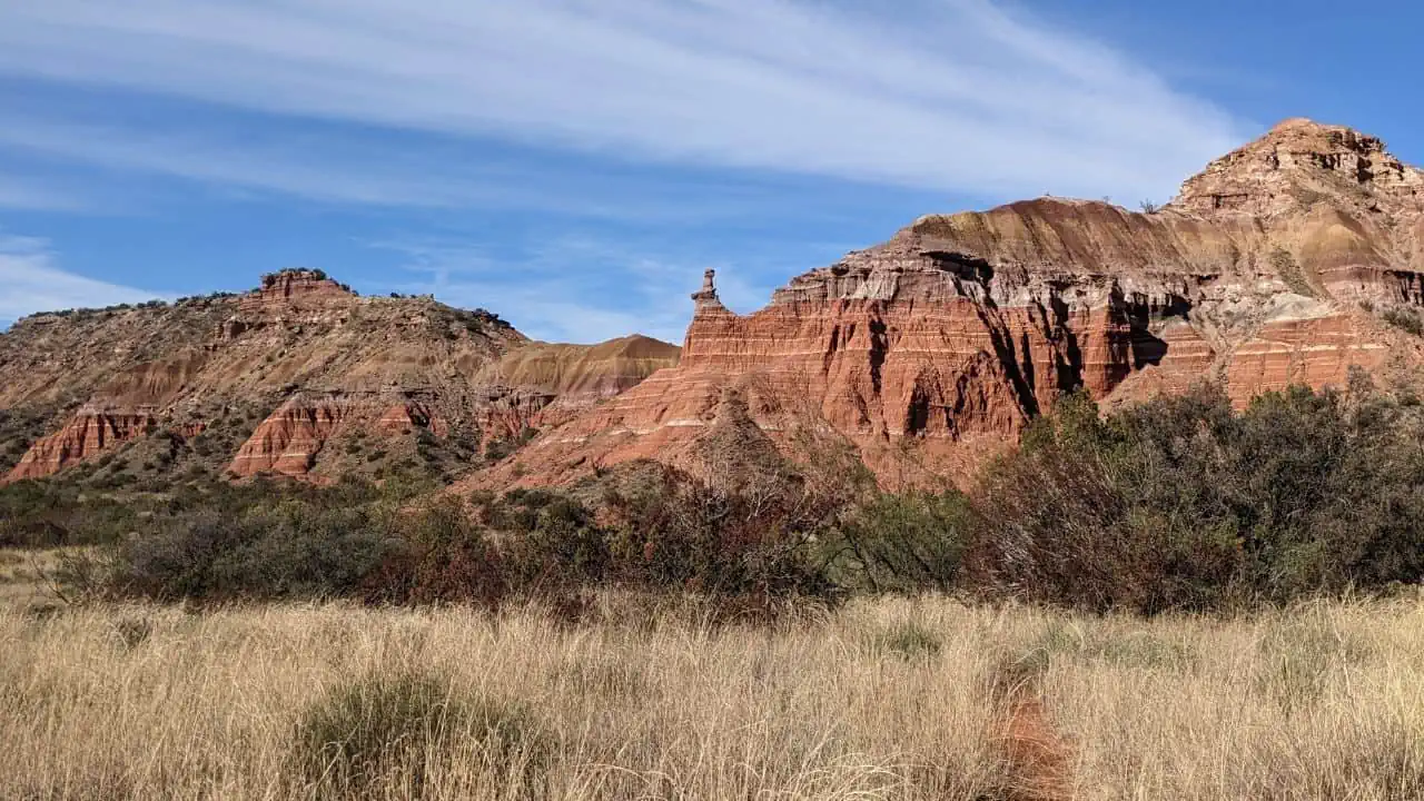
The iconic palo duro canyon grand canyon of texas trail network spans over 30 miles of hiking and biking singletrack. The signature Lighthouse Trail leads hikers 5.7 miles round-trip to a towering 310-foot natural hoodoo rock formation that stands guard over the canyon floor.
For camping options and cabin reservations, read our complete Palo Duro Canyon State Park guide. Standard admission is $8 per adult via the Texas Parks and Wildlife Palo Duro Canyon Portal.
- Location: 11450 Park Road 4, Canyon, TX
- Entry Fee: $8 per adult; children 12 and under enter free
- Signature Hike: 5.7-mile round-trip Lighthouse Trail leading to the park’s iconic rock hoodoo
- Summer Safety: Canyon floor temperatures regularly exceed 105°F between June and August; carry at least one gallon of water
Frequently Asked Questions About Unusual Texas Landscapes
What places in Texas look like other countries?
Hamilton Pool resembles a tropical grotto in Bali or Costa Rica, Monahans Sandhills looks like the Sahara Desert, and Santa Elena Canyon in Big Bend echoes the limestone fjords of Norway. Each site demonstrates how Texas microclimates produce landscapes vastly different from classic prairie stereotypes.
Is there a desert with sand dunes in Texas?
Monahans Sandhills State Park in West Texas features rolling 70-foot dunes of pure silica sand that stretch across thousands of acres. Visitors can rent sand disks at park headquarters to surf down dunes anchored by an underground forest of dwarf Havard oaks.
Can you swim at Hamilton Pool Preserve?
Swimming access at Hamilton Pool Preserve varies based on recent rainfall, bacterial counts, and rockfall safety surveys. While trail hiking and viewing the 50-foot waterfall are guaranteed with advance reservations, water entry is frequently restricted.
What is the only natural lake in Texas?
Caddo Lake, situated on the Texas-Louisiana border, is the only naturally formed large lake in Texas, created by an ancient logjam on the Red River and preserved as a 25,400-acre cypress bayou. Almost all other lakes in Texas are man-made reservoirs designed for flood control and water storage.
Why does Gorman Falls look like a tropical rainforest?
Gorman Falls is a 65-foot living travertine waterfall fed by mineral-saturated spring water that precipitates calcium carbonate as it trickles over cliffs. This continuous mineral buildup supports delicate maidenhair ferns and lush moss that thrive in the secluded canyon microclimate.
Final Tips for Visiting Texas’s Most Surreal Wonders
Experiencing these unusual landscapes requires careful seasonal planning and advance booking. Because sensitive ecological spots like Hamilton Pool, Balmorhea, and Enchanted Rock operate under strict daily visitor quotas, securing digital permits well ahead of your travel date is essential to avoid gate turnaways.
Whether paddling the mossy bayous of Caddo Lake, sand-surfing the pale dunes of Monahans, or standing beneath the 1,500-foot limestone ramparts of Santa Elena Canyon, Texas continually defies expectations. For more road trip inspiration across the state’s vast territory, check out our guide to mind-blowing Texas geography facts.