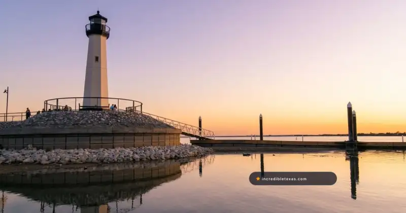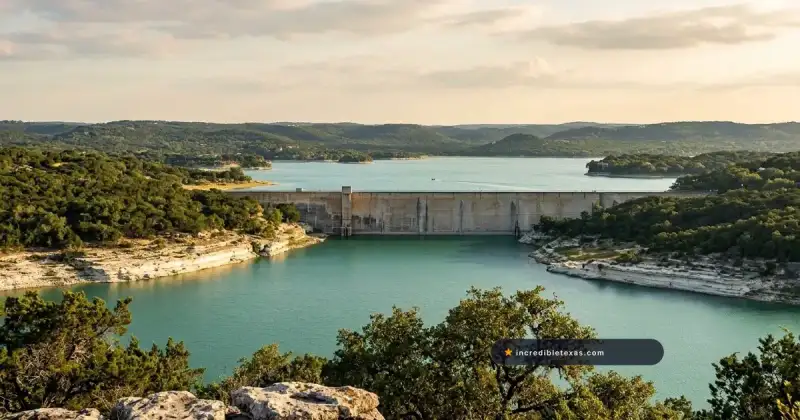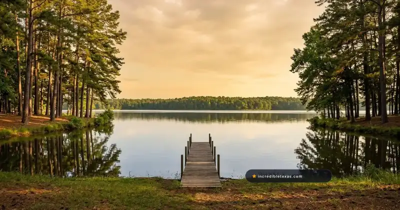
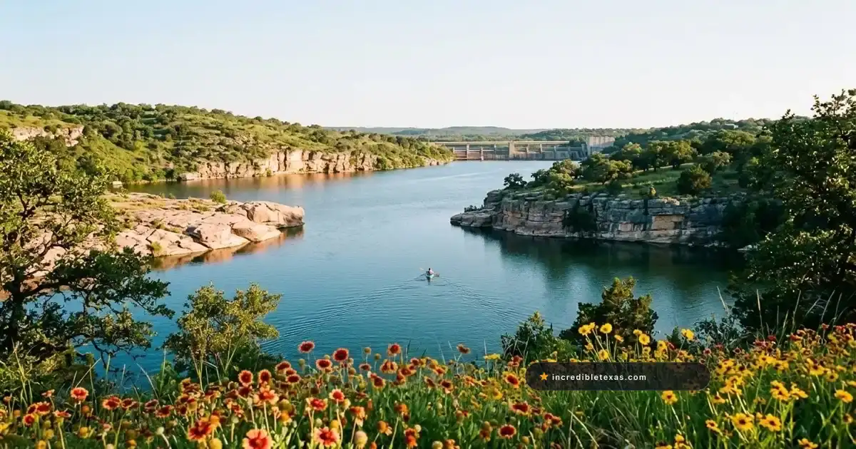
Carved along a 5.75-mile stretch of the Colorado River in Burnet County, Lake Marble Falls spans 611 surface acres right beneath the US Highway 281 bridge. Maintained at a near-constant level between Alvin Wirtz Dam and Max Starcke Dam, the waterway offers fee-free city boat ramps, calm paddling coves, and reliable dock fishing 48 miles northwest of Austin.
Key takeaways
- Lake Marble Falls covers 611 surface acres with a 60-foot maximum depth, making it the smallest and newest reservoir in the Texas Highland Lakes chain.
- The Lower Colorado River Authority holds the pass-through pool within an 0.8-foot normal operating band (736.2 to 737.0 feet msl), keeping boat ramps usable during droughts.
- Free concrete boat launches operate daily from 6:00 AM to midnight at Lakeside Park (three lanes) and Johnson Park (one lane) in Marble Falls, plus a south-bank ramp in Cottonwood Shores.
- Texas Parks and Wildlife classifies this Burnet County reservoir as infested with zebra mussels, requiring every boater and kayaker to clean, drain, and dry equipment before leaving the ramp.
- Overnight camping is prohibited at municipal waterfront parks, so weekend visitors pair daytime water trips with campsites 20 miles away at Inks Lake State Park.
Plan your visit
Verified
- Location
- Colorado River at US 281, Marble Falls, TX (Burnet County)
- Hours
- City parks and ramps open daily 6:00 AM to 12:00 Midnight
- Admission
- Free boat ramps and park entry (Lakeside Pool seasonal fee)
- Best time to go
- March to May and September to November; mornings in summer
Lake Marble Falls in the Highland Lakes Chain
Lake Marble Falls TX sits fourth from the top in the Lower Colorado River Authority (LCRA) chain of six Central Texas reservoirs. Unlike sprawling flood-storage basins that lose shoreline during dry summers, this compact riverine impoundment functions as a steady pass-through channel running straight past downtown Marble Falls.
According to the Texas Parks and Wildlife Reservoir Fishery Overview, the impoundment covers 611 surface acres, reaches 60 feet at its deepest bend near the lower dam, and holds clear to slightly stained water. Austin day trippers count it among the easiest lakes near Austin for day boating and fishing because US Highway 281 crosses directly over the main channel less than an hour from North Austin.
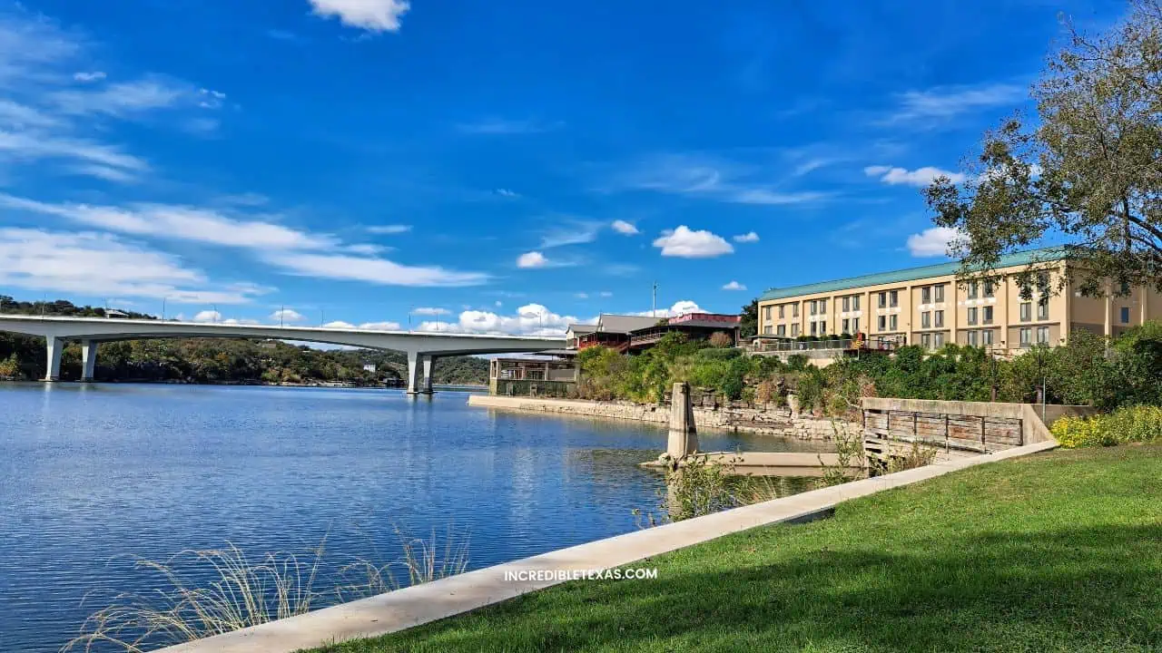
Geography Between Alvin Wirtz Dam and Max Starcke Dam
Two concrete gravity dams frame the entire 5.75-mile waterway. At the upper western end near the Burnet and Llano county line, Alvin Wirtz Dam holds back Lake LBJ and discharges tailrace water directly into the upper river channel.
At the downstream eastern boundary, Max Starcke Dam impounds the Colorado River before releasing flows into upper Lake Travis. Completed in 1951 as the final link in the Highland Lakes Marble Falls corridor (and renamed in 1962 for LCRA General Manager Max Starcke), the structure uses 10 roof-weir floodgates and a hydroelectric powerhouse to regulate flow.
The Submerged Falls and Limestone Canyon Character
Nineteenth-century settlers named the town for a natural two-tier drop where the Colorado River tumbled 20 feet across smooth, banded Pennsylvanian limestone shelves resembling polished marble. Closing the floodgates on Max Starcke Dam in 1951 permanently submerged those historic ledges beneath the central channel.
Today, the smallest Highland Lake in Texas feels like a deep, steep-walled Hill Country river rather than an open inland sea. Vertical limestone bluffs, granite boulders, private boathouses, and pecan-lined creek mouths shelter paddlers and skiers from crosswinds that whip neighboring basins into whitecaps.
Public Boat Ramps and Waterfront Parks
Public Lake Marble Falls boat ramps concentrate along the north shore inside downtown, supplemented by one residential municipal ramp on the south bank in Cottonwood Shores. Compared with many recreational lakes across Texas that collect per-axle launch fees or per-adult gate admission, every public boat ramp here is free to use.
Both city waterfront parks open at 6:00 AM and close at 12:00 Midnight daily. Trailer stalls fill steadily between 9:00 AM and 11:00 AM on warm Saturdays from April through September, so arriving before 8:30 AM secures paved trailer parking without tight turnarounds.
| Public Access Site | Street Address | Ramp Lanes | Park Hours | Launch Fee | Key Amenities & Ground Notes |
|---|---|---|---|---|---|
| Lakeside Park | 305 Buena Vista Dr, Marble Falls | 3-lane concrete | 6:00 AM to Midnight | Free ($0) | Roped swim beach, seasonal pool (fee), pavilions, restrooms, largest trailer lot |
| Johnson Park | 230 S. Avenue J, Marble Falls | 1-lane concrete | 6:00 AM to Midnight | Free ($0) | Pecan shade, Backbone Creek kayak launch, playground, restrooms, off-leash dog zone |
| Cottonwood Shores Ramp | 3729 Lakeview Dr, Cottonwood Shores | 1-lane concrete | Dawn to Dusk | Free ($0) | South-bank upper channel access, restrooms; watch for submerged rocks and sandbar |
Lakeside Park Boat Ramp and Waterfront Amenities
Lakeside Park Marble Falls sits at 305 Buena Vista Drive, one block west of US Highway 281 on the north shore. Listed in the Texas Parks and Wildlife Public Boat Access Directory, its three-lane concrete apron is the widest ramp on the water for wakeboats, pontoons, and bass rigs.
The park also features a roped sandy swim beach, covered picnic tables, grills, sport courts, restrooms, and the seasonal municipal Lakeside Pool. From late November through early January, the city hosts the free Walkway of Lights from 6:00 PM to 10:00 PM nightly with over two million lights.
Johnson Park Ramp, Backbone Creek Trail, and Dog Zone
Three blocks west of US 281 at 230 S. Avenue J, Johnson Park Marble Falls occupies a pecan-shaded grove where Backbone Creek meets the river. Mature shade trees keep picnic areas cooler during July and August afternoons than exposed concrete plazas.
Per the City of Marble Falls Parks and Recreation Facilities Guide, Johnson Park offers a free single-lane boat ramp, three pavilions, a playground, volleyball and washer pits, and restrooms. A footbridge on the Backbone Creek Hike and Bike Trail connects to Lakeside Park, and families with dogs at Johnson Park get an off-leash dog zone.
Cottonwood Shores Access and the Granite Shoals Distinction
On the south bank off Ranch Road 2147, boaters can use the Cottonwood Shores boat ramp at 3729 Lakeview Drive. Turn onto Dutch Leming Way, follow Cottonwood Drive and Driftwood Lane to Lakeview Drive, and use the free single-lane ramp and public restrooms.
Warning
Submerged Rock and Sandbar Hazard at Cottonwood Shores: Flood releases from Alvin Wirtz Dam have shifted sediment and exposed submerged rocks straight out from the 3729 Lakeview Drive apron. Trim lower units high, idle past the sandbar, and use the three-lane Lakeside Park launch for fiberglass wakeboats.
Visitors often confuse Cottonwood Shores with neighboring Granite Shoals when mapping ramps. Cottonwood Shores borders both Lake LBJ and upper Lake Marble Falls, whereas every park ramp in Granite Shoals launches upstream of Wirtz Dam onto Lake LBJ.
Boating, Kayaking, and Shoreline Swimming Rules
Because this Marble Falls lake narrows below 1,000 feet across several mid-channel bends, motorized traffic and paddlers share a compact corridor. Timing morning launches around wind and wake patterns keeps flatwater sessions smooth.
Wakeboarding, Pontoons, and Local Watercraft Rentals
Limestone bluffs block southerly winds, creating glassy morning water for skiers and wakeboarders between 6:30 AM and 9:30 AM. Because no commercial wet-slip fuel marina sits on the city park shore, trailer boaters should top off marine fuel along US 281 before launching.
Visitors without a trailer can book Lake Marble Falls boat rentals through captained wakeboat charters departing Lakeside Park. Mobile outfitters also deliver kayaks and stand-up paddleboards to Johnson Park, while boaters wanting full-service marinas can review our Lake LBJ boating and access guide ten minutes west.
Flatwater Kayaking and Swim Zone Policies
Kayaking and paddleboarding on Lake Marble Falls shine inside the no-wake mouth of Backbone Creek at Johnson Park and eastward beneath the US 281 bridge Marble Falls pilings. Launching from the grassy creek bank avoids weekend trailer congestion.
Tip
Beat the Midday Wake Echo: Launch kayaks and paddleboards between 7:00 AM and 9:30 AM. Once ballast wake-surf boats start running loops around 10:30 AM on summer Saturdays, waves rebound off vertical limestone walls and make narrow main-channel paddling choppy.
Visitors asking can you swim in Lake Marble Falls Texas should note four key shoreline policies:
- Lakeside Park Roped Beach: Free lake wading inside a buoyed cove; swim at your own risk with zero lifeguards.
- Lakeside Municipal Pool: Fenced seasonal city pool with lifeguards, waterslide, and diving board for a modest daily fee.
- Cooler and Glass Rules: Coolers with food and soft drinks are allowed on park lawns, while the Lakeside Pool glass bottle ban and alcohol prohibition apply inside the pool fence and beach.
- LCRA 50-Foot Ramp Rule: Lower Colorado River Authority rules ban swimming within 50 feet of any public boat ramp, and closed-toe water shoes protect feet from sharp zebra mussel shells.
Fishing Species, Seasons, and TPWD Limits
Productive Lake Marble Falls fishing relies on reading river ledges and dock shade rather than casting over grass flats. TPWD surveys find virtually zero submerged vegetation in the basin, concentrating baitfish and predators tight against rock walls and slips.
Anglers aged 17 and older fishing from a boat, kayak, or city park bank must carry a valid freshwater license, as municipal parks lack the state park shore exemption. Check resident and one-day pass rates in our guide to Texas freshwater fishing license rules and costs.
Targeting Largemouth Bass Around Docks and Limestone Bluffs
Largemouth bass lead the fishery at moderate densities between both dams, holding around floating boathouse pontoons, submerged brush piles, and stair-stepped limestone bluffs year-round.
In March and April, bass spawn in gravel pockets inside Backbone Creek and north-shore coves, hitting skipped wacky-rigged stickbaits and 3/8-ounce jigs under shaded slips. On summer afternoons, deep-diving crankbaits and shaky-head worms worked down 12-to-22-foot rock ledges below US 281 produce bites whenever turbine releases pull current downstream.
Catfish, Crappie, and Wirtz Dam Tailrace White Bass
Channel catfish populate the entire channel alongside blue and flathead catfish on 20-to-35-foot bends near Max Starcke Dam. Punch bait, cut shad, and nightcrawlers on slip-sinker rigs produce steady stringers from boats and park banks.
Fishing below Wirtz Dam Lake Marble Falls delivers a strong spring bonus bite from late February through April, when white bass and white crappie stack in the oxygenated tailrace outside dam safety buoys. Cast 1/4-ounce silver slabs and shad swimbaits into current seams for white bass, while kayak anglers in Burnet County fish live minnows around Backbone Creek bridge brush for crappie.
TPWD Freshwater Bag and Length Limits
All sport species follow Texas Parks and Wildlife statewide freshwater regulations (bowfishers must also observe special LCRA bowfishing distance rules near residences and dams):
- Largemouth Bass: 14-inch minimum length; 5-fish daily bag limit (combined black bass; Guadalupe bass has no minimum length).
- Channel and Blue Catfish: No minimum length; 25-fish combined daily bag limit (maximum 10 fish measuring 20 inches or longer).
- Flathead Catfish: 18-inch minimum length; 5-fish daily bag limit.
- White Bass: 10-inch minimum length; 25-fish daily bag limit.
- White and Black Crappie: 10-inch minimum length; 25-fish combined daily bag limit.
- Sunfish and Bluegill: No minimum length and no daily bag limit.
LCRA Water Levels, Dam Releases, and Zebra Mussel Laws
Checking the Lake Marble Falls water level and gate operations takes two minutes before hitching a trailer. While normal pool heights remain steady across dry summers, pass-through river physics mean current velocity can spike rapidly after Hill Country storms.
Pass-Through Pool Stability vs. Floodgate Surge Hazards
Per the Lower Colorado River Authority Dams and Highland Lakes Guide, the basin holds 7,597 acre-feet at 737.0 feet msl and runs inside a daily band of 736.2 to 737.0 feet msl. Check live gauges via the Texas Water Development Board Reservoir Elevation Portal before driving.
That 0.8-foot window explains why anglers ask is Lake Marble Falls a constant level lake. Even when drought drops Lake Travis by 35 feet, water flowing down past our Inks Lake State Park camping and cabins guide corridor and Lake LBJ keeps Marble Falls ramps submerged.
During intense watershed flash floods, LCRA floodgate operations Max Starcke Dam and Alvin Wirtz Dam pass heavy inflows downstream, creating swift currents and floating timber. Dog owners should also check late-summer LCRA advisories for toxic blue-green algae in stagnant warm coves.
Mandatory Clean, Drain, and Dry Zebra Mussel Protocol
TPWD classifies Lake Marble Falls zebra mussels status as fully infested with adult colonies and microscopic larvae. Transporting trapped bilge or livewell water carries Class C misdemeanor fines up to $500 under the clean drain and dry Texas boat law.
Important
Mandatory Ramp-Side Drain Law: Under the Texas Parks and Wildlife Clean, Drain, and Dry Boating Rules, boaters and paddlers must wipe hull debris, pull all drain plugs, open livewells, lower motors, and empty wake ballast bags at the ramp before driving onto public roads.
Comparing Marble Falls vs. Lake LBJ vs. Lake Travis
Choosing between the three adjacent Highland Lakes depends on boat size, wake tolerance, and camping plans. Weighing Lake Marble Falls vs Lake LBJ alongside Lake Marble Falls vs Lake Travis clarifies how differently consecutive reservoirs operate along the same river.
| Comparison Factor | Marble Falls Reservoir | Lake LBJ | Lake Travis |
|---|---|---|---|
| Surface Area | 611 acres (5.75 miles long) | 6,449 acres (21.15 miles long) | 18,930 acres (63+ miles long) |
| Max Depth | 60 feet | 90 feet | 210 feet |
| Pool Behavior | Near-constant pass-through (736.2 to 737 ft msl) | Constant-level (825 ft msl) | Fluctuating flood/supply basin |
| Public Ramp Fees | Free ($0) at 3 municipal ramps | Mix of free city and paid marina ramps | $5 adult cash entry + trailer fees at county parks |
| Shoreline Vibe | Walkable downtown parks, calm river canyon | Upscale lake homes, resorts, Granite Shoals parks | Deep limestone cliffs, coves, mega-marinas |
| On-Site Camping | None at municipal parks | Private RV resorts and cabin parks | County park primitive and RV sites (Pace Bend) |
Choose the 611-acre Marble Falls basin for zero launch fees, sheltered morning kayaking or wakeboarding, and a five-minute walk to Main Street lunch. Head upstream to Lake LBJ when you want 10 times the cruising acreage and fuel marinas, or drive downstream to Lake Travis for sailing and scuba diving.
Travelers needing public tent pads, electric RV hookups, or state park trails can compare nearby options in our guide to state parks near Marble Falls for camping and hiking within a 15-to-60-minute drive.
Camping Options, Downtown Dining, and Half-Day Itineraries
Because the waterfront sits beside US Highway 281 and historic downtown, pairing a morning paddle or fishing session with Burnet County dining and cave tours takes minimal driving. Confirm overnight lodging early since city park gates close at midnight.
Where to Camp and Stay Near the Waterfront
Visitors researching camping near Lake Marble Falls TX should note that tent pitching, car sleeping, and overnight RV parking are prohibited at Lakeside Park, Johnson Park, and Cottonwood Shores. Police enforce the 12:00 Midnight closure nightly.
For public lakefront camping, drive 20 miles northwest up US 281 and Park Road 4 to Inks Lake State Park for nearly 200 tent and RV sites plus 22 mini-cabins. Private RV resorts along Lake LBJ also host trailers, while waterfront hotels beside the US 281 bridge sit within walking distance of Lakeside Park.
Pairing Morning Water Time with Main Street and Nearby Caves
Putting water hours early beats July and August afternoon heat indexes above 98 degrees Fahrenheit:
- 6:45 AM to 10:30 AM (Morning Launch): Launch kayaks at Johnson Park or trailers at Lakeside Park at sunrise for calm fishing and wake runs before boat chop builds.
- 11:00 AM to 1:00 PM (Main Street & Pie): Drain bilges at the ramp, walk four blocks to Main Street shops, or grab chicken-fried steak and meringue pie at Blue Bonnet Cafe on US 281 before 11:30 AM.
- 1:30 PM to 4:00 PM (Underground Cool-Down): Drive 14 miles up Park Road 4 for Longhorn Cavern State Park guided cave tours, where limestone passages stay 68 degrees Fahrenheit year-round.
Frequently Asked Questions About Lake Marble Falls
Where is Lake Marble Falls located?
Lake Marble Falls sits on the Colorado River in Burnet County (touching the Llano County line upstream), roughly 48 miles northwest of downtown Austin along US Highway 281. Within the Highland Lakes chain, the waterway lies directly downstream from Lake LBJ and Alvin Wirtz Dam and upstream from Lake Travis and Max Starcke Dam.
Are the public boat ramps in Marble Falls free?
Yes, the City of Marble Falls operates two fee-free concrete boat launches on the north shore west of the US 281 bridge: a three-lane ramp at Lakeside Park and a single-lane ramp at Johnson Park. A third free public launch with restroom access sits on the south bank at 3729 Lakeview Drive in Cottonwood Shores.
Does the Marble Falls reservoir stay at a constant water level?
Yes, the Lower Colorado River Authority manages this pass-through Highland Lake within a narrow normal operating band of 736.2 to 737.0 feet above mean sea level. While drought drawdowns rarely affect shoreline docks, heavy upstream rainfall can trigger dam floodgate releases and strong river currents.
Is swimming allowed at Lakeside Park and open coves?
Swimming is permitted at your own risk inside the roped beach zone at Lakeside Park and along calm coves outside active boat lanes, though no lifeguards patrol open river water. LCRA safety regulations prohibit swimming within 50 feet of any public boat ramp, and families wanting lifeguards can pay admission at the seasonal Lakeside Pool.
Is overnight camping allowed at Marble Falls waterfront parks?
No, overnight tent camping and RV parking are prohibited at Lakeside Park, Johnson Park, and Cottonwood Shores municipal waterfront parks, which close nightly at midnight. Campers typically book tent, RV, or cabin reservations 20 miles northwest at Inks Lake State Park or stay at private RV resorts around Lake LBJ.
Which sport fish species live in this Burnet County reservoir?
Texas Parks and Wildlife surveys list largemouth bass, channel catfish, blue catfish, flathead catfish, sunfish, and white crappie as the predominant sport fish between Wirtz Dam and Max Starcke Dam. Anglers also catch schooling white bass during spring spawning runs in the oxygenated tailrace waters below Alvin Wirtz Dam.
Do Texas zebra mussel rules apply to boaters here?
Yes, Texas Parks and Wildlife officially classifies this Colorado River reservoir as infested with invasive zebra mussels. State law requires all boaters, kayakers, and anglers to clean hulls and trailers, pull drain plugs, and drain all bilges, livewells, and ballast tanks before driving away from the launch ramp.