

The best hiking trails in Dallas TX center around the limestone cliffs of the Balcones Escarpment southwest of the city and scenic lake preserves to the north. For rugged elevation and sweeping vistas, Cedar Ridge Preserve and Big Cedar Wilderness deliver the toughest climbs in Dallas County.
Families and casual walkers find paved, shaded loops and observation decks at Arbor Hills Nature Preserve and River Legacy Parks. Meanwhile, endurance hikers tackling longer routes gravitate to the 22.5-mile Northshore Trail along Lake Grapevine and the 12-mile DORBA trail loops at Cedar Hill State Park.
For travelers planning an afternoon of hiking near Dallas TX, these routes highlight the unexpected topographic variety of North Texas. Dense cedar brakes, limestone bluffs, bottomland hardwoods, and wildflower meadows line the Trinity River basin and area reservoirs. Hikers planning an overnight getaway can also pair these day hikes with the best places for camping in Dallas across nearby state parks and lakefront grounds.
Dallas Hiking Trails at a Glance: Distance, Terrain, and Fees
Dallas hiking trails span more than 75 combined miles across municipal preserves, state parks, and Corps of Engineers reservoirs. Most urban preserves offer free public admission, while state parks charge small per-person daily fees.
The comparison table below details trail mileage, surface conditions, entry costs, and primary features across the top ten hiking locations in the Dallas Fort Worth metroplex.
| Trail / Preserve | Location | Trail Length | Surface & Difficulty | Entry Fee | Best For |
|---|---|---|---|---|---|
| Cedar Ridge Preserve | Southwest Dallas | 9.0 miles | Dirt singletrack, rocky (Moderate to Hard) | Free ($5 donation) | Hill Country elevation & overlooks |
| Arbor Hills Nature Preserve | Plano | 6.0 miles | Paved concrete & natural dirt (Easy to Moderate) | Free | Family outings & stroller walks |
| Cedar Hill State Park (DORBA) | Cedar Hill | 12.0 miles | Dirt singletrack & limestone (Moderate) | $7 per adult | Lake views & multi-use trail loops |
| Oak Cliff Nature Preserve | Oak Cliff / Dallas | 8.0 miles | Forest singletrack (Easy to Moderate) | Free | Quiet woodland loops near downtown |
| Spring Creek Nature Area | Richardson | 4.0 miles | Paved trail & natural dirt (Easy) | Free | Densely shaded summer walking |
| Trinity River Audubon Center | Southeast Dallas | 5.0 miles | Crushed stone & boardwalks (Easy) | Free (Reservation req.) | Wetland birding & Great Trinity Forest |
| Dogwood Canyon Audubon Center | Cedar Hill | 2.0 miles | Rocky canyon paths (Moderate) | Free | Forested canyon climbs & wildlife |
| River Legacy Parks | Arlington | 20.0+ miles | Paved greenway & dirt trail (Easy to Moderate) | Free | Shaded river paths & distance cycling |
| Northshore Trail | Lake Grapevine | 22.5 miles | Rugged singletrack & rocks (Moderate to Hard) | Free (Murrell Park) | Technical lake hiking & trail running |
| Big Cedar Wilderness | Southwest Dallas | 20.0+ miles | Steep rocky ridges (Hard) | Free (Waiver req.) | Dallas County high point & skyline views |
Cedar Ridge Preserve: Rugged Escarpment and Elevation Hikes
Cedar Ridge Preserve is the leading destination for hiking trails in Dallas with elevation gain and rugged hill scenery. Its 9 miles of unpaved trails climb steep limestone ridges up to 755 feet above sea level.
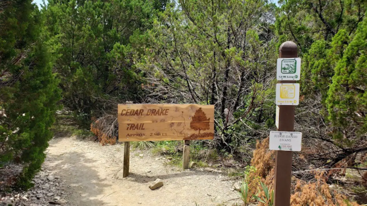
Managed by Audubon Dallas in partnership with the City of Dallas and Dallas County, this 633-acre habitat protects native Ashe juniper, red oak, and blackland prairie ecosystems. Hikers planning an in-depth visit can review our complete Cedar Ridge Preserve visitor guide for detailed trail descriptions and route distances.
Cedar Ridge Trail Network and Elevation
The trail system consists of interconnected loops ranging from flat meadow paths to steep canyon descents. For a rigorous cardio workout, the Cattail Pond Trail descends through dense woodland before climbing steep rock staircases to a secluded spring-fed pond. Hikers seeking elevation hikes in North Texas regularly use Cedar Ridge to train for mountain treks.
The Escarpment Trail contours along high limestone ridges, offering dramatic drops and panoramic views over Joe Pool Lake. Trail surfaces feature loose limestone gravel, exposed tree roots, and wooden box steps built to reduce erosion along the hillsides.
Scenic Overlooks and Bird Habitats
High ridge overlooks throughout the preserve provide clear views across the southwest horizon. The preserve serves as a vital nesting corridor for the endangered golden-cheeked warbler and protects diverse seasonal bird populations.
Native wildflower gardens near the visitor center attract migratory monarch butterflies and native pollinators during spring and autumn. Benches positioned at major trail junctions offer quiet rest spots shaded by mature oaks and cedars.
Parking Regulations and Leash Rules
Cedar Ridge Preserve is located at 7171 Mountain Creek Parkway. The preserve operates Tuesday through Sunday from 6:30 AM to dusk and remains strictly closed on Mondays for grounds maintenance. Admission is free, though visitors are encouraged to leave a $5 donation at the trailhead kiosk.
According to the City of Dallas Parks and Recreation Cedar Ridge Preserve Portal, all dogs must remain on a handheld leash at all times, and bicycles are strictly prohibited on all trails. The gravel parking lot frequently fills to capacity before 9:00 AM on clear weekend mornings, making early arrival essential.
Tip
Arrive before 8:30 AM on Saturdays to secure parking; trail marshals close the front gate once the main lot fills to prevent illegal parking on Mountain Creek Parkway.
Arbor Hills Nature Preserve: Paved Loops and Family Trails
Arbor Hills Nature Preserve in Plano offers 6 miles of hiking paths, split evenly between smooth paved walkways and rugged dirt trails, plus an elevated observation tower with panoramic views.
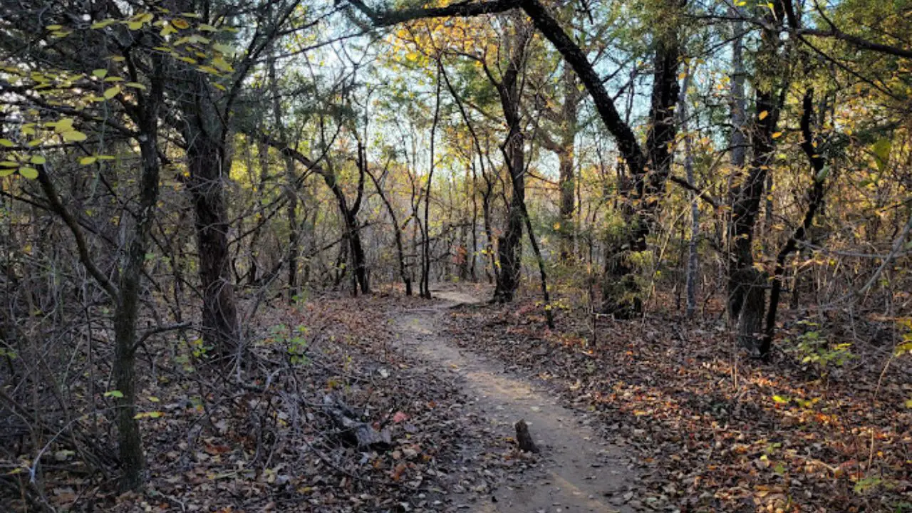
Spanning 200 acres in western Plano, this municipal preserve serves as a top choice for beginner hiking trails near Dallas. Those exploring suburban routes can read our dedicated Arbor Hills Nature Preserve guide for seasonal trail recommendations, or check our guide to the best things to do in Plano TX to plan a full weekend itinerary.
Paved Paths vs Off-Road Dirt Trails
The preserve features 3 miles of wide, smooth concrete paths that wind through open grassland and upland forest. These paved walking trails Dallas suburban hikers frequent provide steady footing for runners, rollerbladers, and casual walkers.
Pedestrians seeking a more natural dirt path can follow 3 miles of unpaved pedestrian-only hiking trails that descend into the wooded bottoms of Indian Creek. A separate 2.8-mile singletrack loop is reserved strictly for off-road mountain bikers to keep pedestrian and cycling corridors safe.
Observation Tower and Indian Creek
The centerpiece of Arbor Hills is the hilltop observation tower, situated along the paved loop trail. From the upper viewing deck, visitors enjoy sweeping 360-degree vistas overlooking the preserved prairie basin and distant suburban skylines.
Below the ridge, pedestrian dirt trails cross natural secondary creek beds via sturdy wooden footbridges. Riparian woodlands along Indian Creek provide cool shade and regular sightings of barred owls, white-tailed deer, and red-shouldered hawks.
Stroller Accessibility and Rain Closures
The paved trail system features gentle grades, making it one of the most accessible stroller-friendly and wheelchair-navigable hiking venues in North Texas. Modern pavilion restrooms, drinking fountains, and shaded picnic tables sit adjacent to the main playground.
Per the City of Plano Arbor Hills Nature Preserve Directory, the unpaved natural surface trails close promptly following heavy rainfall to preserve delicate dirt tracks. The paved outer loops remain open daily from 5:00 AM to 11:00 PM regardless of weather.
Cedar Hill State Park DORBA Trail: Lakefront Recreation
Cedar Hill State Park features 12 miles of DORBA-maintained singletrack loops winding through rugged cedar brakes and along Joe Pool Lake. Day passes cost $7 for adults, with campsites and lake facilities available.
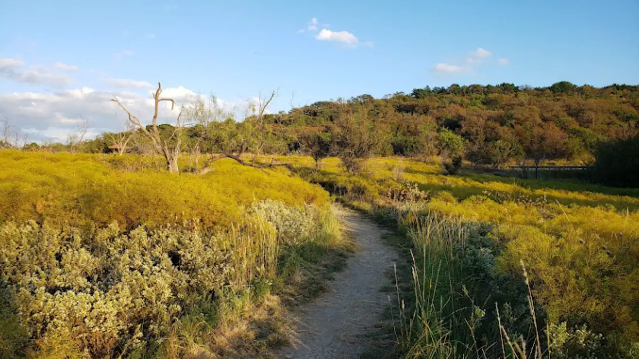
Located on the eastern shore of Joe Pool Lake, Cedar Hill State Park delivers extensive multi-use trails within a 30-minute drive of downtown Dallas. Visitors planning a camping weekend can check our Cedar Hill State Park camping and recreation guide for campsite booking instructions.
DORBA Singletrack Distance and Loops
Constructed in partnership with the Dallas Off-Road Bicycle Association, the DORBA trail system divides into three connected loops measuring 3, 8, and 12 miles. The inner short loop provides gentle rolling dirt terrain suited for intermediate day hikers.
The outer 12-mile loop introduces sharp limestone ledges, tight switchbacks, and rolling grade changes through dense juniper canopies. Hiking the entire outer perimeter delivers an exceptional endurance workout while exploring scenic hiking trails in Dallas County.
Shoreline Vistas Along Joe Pool Lake
Several segments of the mid-distance and long loops run along elevated clay banks overlooking Joe Pool Lake. Hikers encounter cooling lake breezes and clear views across open water toward the state park marinas.
Shoreline coves along the trail route attract great blue herons, egrets, and migratory waterfowl. Benches positioned beneath cedar elms provide quiet vantage points for resting during longer loop treks.
Day Passes, Camping, and Trail Direction
Entry requires a daily pass of $7 per adult (ages 13 and older), while Texas State Parks Pass holders and children 12 and under enter free. Park gates open daily from 6:00 AM to 10:00 PM at 1570 West FM 1382 in Cedar Hill.
According to the Texas Parks and Wildlife Cedar Hill State Park Facilities and Fee Schedule, trail users must obey posted directional signs, with hikers traveling in the opposite direction of mountain bikers to maximize line-of-sight safety. The entire dirt trail system closes immediately during wet weather.
Tip
Call the state park office at (972) 291-3900 or check the DORBA trail status board before driving out, as singletrack trails frequently shut down for 24 to 48 hours after rain.
Oak Cliff Nature Preserve: Quiet Urban Forest Trails
Oak Cliff Nature Preserve protects 121 acres of hardwood forest and open prairie just minutes from downtown Dallas. Its 8 miles of multi-use natural surface loops offer quiet woodland hiking with mild elevation.
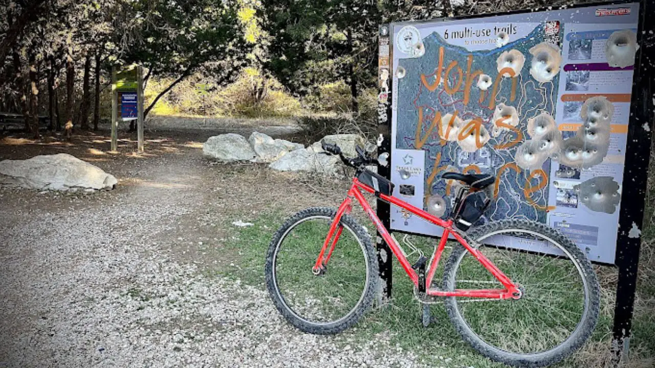
Owned and preserved by the Texas Land Conservancy, this green space remains one of the finest hidden natural sanctuaries in the urban core. For a detailed breakdown of trail loops and trailheads, consult our Oak Cliff Nature Preserve trail guide.
Interconnected Loops and Natural Terrain
The preserve features eight miles of dirt singletrack divided into six interconnected loop paths. Gentle topography makes this system accessible to casual hikers, while twisting woodland bends keep trail runners and mountain bikers engaged.
Trail tread consists of compacted blackland clay interspersed with limestone fragments and tree roots. Because the trail system twists through tight switchbacks within dense trees, hikers experience an isolated natural atmosphere despite being inside city limits.
Prairie Grasses and Shaded Woodland
Oak Cliff Nature Preserve transitions between restored native prairie fields and dense deciduous hardwood woodland. In spring, prairie openings display colorful carpets of Texas bluebonnets, Indian paintbrush, and purple coneflowers.
Shaded woodland sections feature mature cedar elms, post oaks, and bur oaks that form a full protective canopy. Seasonal creek crossings along dry branches provide interesting terrain features without severe physical obstacles.
Pierce Street Trailhead and Navigation
The main preserve entrance is located at 2875 Pierce Street in Dallas. Access is free from sunrise to sunset daily, with a gravel parking area situated directly in front of the trailhead kiosk.
Official trail regulations outlined by the Texas Land Conservancy Oak Cliff Nature Preserve Trail Map mandate that dogs remain leashed and mountain bikers yield right-of-way to pedestrians. Because inner trail junctions can be confusing, downloading an offline trail map is strongly recommended.
Spring Creek Nature Area: Shaded Paths in Richardson
Spring Creek Nature Area in Richardson features 4 miles of paved and natural trails beneath a towering old-growth hardwood canopy. It provides cool, shaded walking routes that connect to the wider Galatyn Park network.
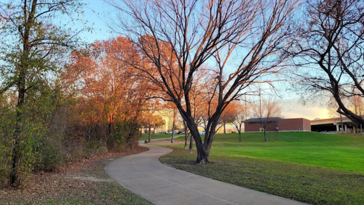
Situated between Central Expressway and Renner Road, this 100-acre park preserves rare bottomland hardwood trees. Walkers seeking route maps can explore our complete Spring Creek Nature Area trail map guide before visiting.
Mature Hardwood Forest and Creek Corridors
The defining feature of Spring Creek is its massive forest canopy. Giant bur oaks, chinquapin oaks, pecans, and American elms, some exceeding two centuries in age, tower over the creek banks and shade almost the entire walking surface.
Because the dense canopy deflects intense summer sun, this is one of the most reliable shaded hiking trails in Dallas County during hot afternoon hours. Spring Creek flows steadily through the center of the park, creating peaceful aquatic habitats for turtles and herons.
Paved Pathways and Galatyn Park Connections
The main artery through the preserve consists of a wide, multi-use paved trail built for walkers, strollers, and road cyclists. Flat grades and well-maintained concrete ensure dependable accessibility across all seasons.
For visitors desiring longer urban routes, the paved greenway connects directly to the Galatyn Woodland Preserve and the Richardson Central Trail network. Unpaved side spurs lead through natural understory down to the limestone banks of the creek.
Trailhead Parking and Seasonal Wildflowers
Primary parking is available at the Spring Creek Nature Area trailhead located off North Central Expressway near Renner Road, with secondary access at Foxboro Park. Admission and parking are free year-round from sunrise to 10:30 PM.
During late spring, native river oats and shaded wildflowers bloom along the creek terrace. Benches, trash receptacles, and dog waste stations are situated at regular intervals along the paved route, making it an exemplary dog friendly hiking trails Dallas destination.
Trinity River Audubon Center: Great Trinity Forest Trails
Trinity River Audubon Center features 5 miles of crushed limestone paths, boardwalks, and prairie trails within the 6,000-acre Great Trinity Forest. Entry is free with online advance registration.
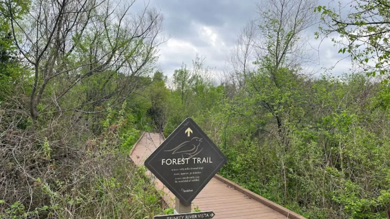
Located ten minutes southeast of downtown at 6500 Great Trinity Forest Way, this LEED-certified nature center serves as the gateway to the largest urban hardwood forest in the United States. It provides an exceptional setting for hiking in Dallas among protected wetlands. Visitors seeking canopy thrills within the same forest system can test their agility at Trinity Forest Adventure Park Dallas TX, located just minutes away off Dowdy Ferry Road.
Wetlands, Prairies, and River Boardwalks
The trail network traverses four distinct regional habitats: bottomland hardwood forest, open tallgrass prairie, shallow marsh ponds, and the Trinity River corridor. Elevated boardwalks allow hikers to cross wetland waters without disturbing resting turtles and amphibians.
Crushed stone paths lead through groves of mature cedar elm and green ash down to river overlooks. Informational signage positioned along the routes explains habitat remediation, river hydrology, and indigenous flora.
Birdwatching in the Hardwood Forest
With more than 200 bird species recorded on preserve grounds, the center ranks among the top birdwatching hotspots in North Texas. Visitors frequently spot roseate spoonbills, snowy egrets, double-crested cormorants, and nesting red-tailed hawks.
Quiet morning hours offer exceptional photography opportunities from the pond viewing blinds. Seasonally, migratory warblers and songbirds utilize the dense forest canopy as an essential resting point along the Central Flyway.
Reservation Protocols and Pet Restrictions
The center operates Tuesday through Sunday from 9:00 AM to 4:00 PM, with early trail access beginning at 8:00 AM on Saturdays. The facility is closed to the public on Mondays.
According to the Trinity River Audubon Center Visitor and Trail Reservation Portal, admission is free, but all guests must book a timed-entry ticket online before entering. Dogs and pets are strictly prohibited on all trails and grounds to protect fragile wetland wildlife.
Dogwood Canyon Audubon Center: Hillside Escarpment Hiking
Dogwood Canyon Audubon Center offers 2 miles of steep, forested trails through a deep canyon where East Texas, Hill Country, and Blackland Prairie ecosystems converge. Admission is free, with parking at the visitor center.
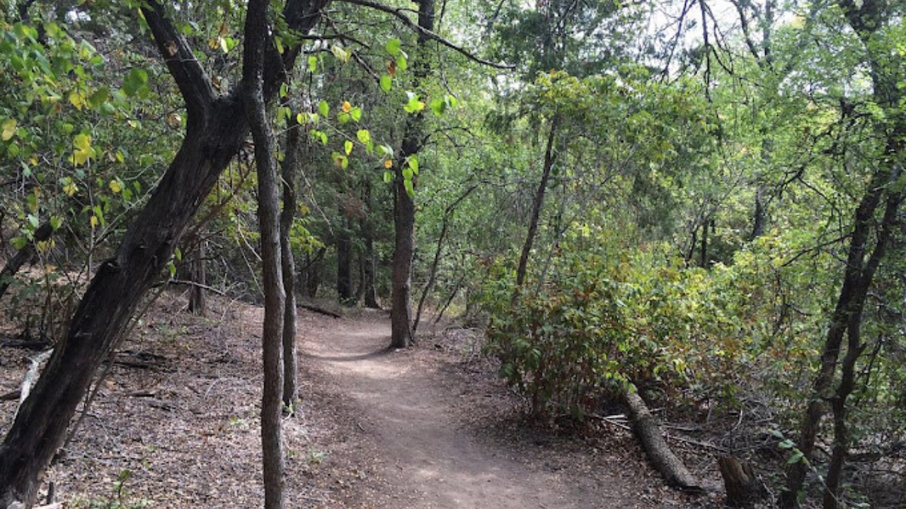
Situated in Cedar Hill at 1206 West FM 1382, this 200-acre sanctuary preserves a rare environmental crossroads. Dense canyon walls create unique microclimates that shelter plant species rarely found elsewhere in Dallas County.
Canyon Rim Climbs and Valley Trails
The trail network features two primary paths: the gentle Canyon Floor Trail and the demanding West Bluff Trail. The Canyon Floor Trail provides an accessible, shaded path along a quiet limestone streambed.
The West Bluff Trail ascends more than 200 vertical feet via rugged switchbacks, climbing out of the canyon to high escarpment overlooks. The elevated ridgeline rewards hikers with panoramic views across the forested valleys of southwest Dallas County.
Flowering Dogwoods and Migratory Warblers
The canyon is named for its isolated stand of flowering dogwood trees, which bloom with delicate white blossoms each spring. Hexalectris orchids and diverse native ferns thrive along the damp, shaded limestone canyon base.
Steep forested hillsides provide prime nesting habitat for golden-cheeked warblers and black-capped vireos. The quiet nature of the preserve ensures steady wildlife sightings, including gray foxes, bobcats, and native lizards.
Sturdy Footwear and Visitor Center Hours
Due to rocky limestone ledges, exposed root systems, and steep canyon steps, hikers should wear sturdy hiking boots or trail running shoes with aggressive tread. Trekking poles provide added stability when negotiating the steep West Bluff descents.
The center is open Wednesday through Saturday from 9:00 AM to 4:00 PM, and Sunday from 11:00 AM to 4:00 PM (closed Mondays and Tuesdays). Last trail entry is at 3:00 PM, and admission to the trails and nature play area is free.
River Legacy Parks: Shaded Trinity River Paths in Arlington
River Legacy Parks in Arlington features over 10 miles of paved greenway and 10 miles of unpaved mountain bike singletrack along the Trinity River. It is fully free to the public with extensive shaded forest canopy.
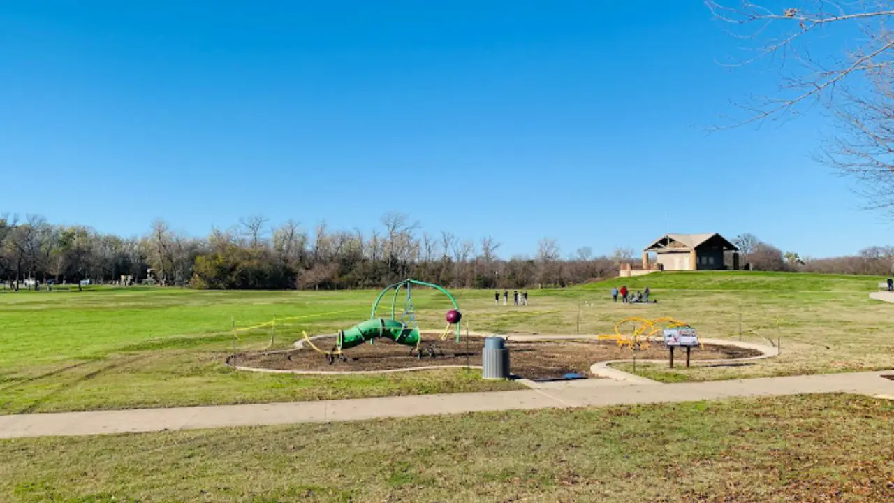
Covering 1,300 acres of hardwood forest along the river floodplain, River Legacy represents one of the largest continuous urban park spaces in the DFW area. It sits at 701 NW Green Oaks Boulevard in north Arlington.
Greenway Trails and Mountain Bike Singletrack
The park offers a dual trail layout tailored to different outdoor pursuits. A wide, smooth 10-mile concrete multi-use trail parallels the Trinity River corridor, accommodating long-distance runners, families, and road cyclists.
Winding deeper into the woods, 10 miles of unpaved dirt singletrack provide technical natural paths for hikers and cross-country mountain bikers. These natural routes feature wooden bridges, gentle berms, and scenic riverbank clearings.
Wildlife Watching Along River Corridors
River Legacy preserves an undisturbed river bottomland habitat teeming with native wildlife. Hikers frequently spot white-tailed deer feeding in the forest glades, red-eared slider turtles sunning on river logs, and armadillos rooting through leaf litter.
Bird life is exceptionally diverse along the river channel, featuring barred owls, osprey, belted kingfishers, and herons. The adjacent River Legacy Living Science Center offers educational exhibits on the regional river ecology.
Green Oaks Trailheads and Park Amenities
Park amenities include custom playgrounds, shaded picnic pavilions, canoe launches, and modern restrooms. Admission and parking are entirely free, with gates open daily from 5:00 AM to 10:00 PM.
The paved greenway connects west to Fort Worth trails, making it ideal for distance planning. Leashed dogs are welcome on all outdoor paths, provided owners carry waste disposal bags and stay alert for fast-moving cyclists.
Northshore Trail: Rugged Singletrack Along Lake Grapevine
Northshore Trail is a 22.5-mile singletrack system contouring the bluffs of Lake Grapevine. It offers technical sandstone ledges, sandy shoreline flats, and expansive lake vistas.
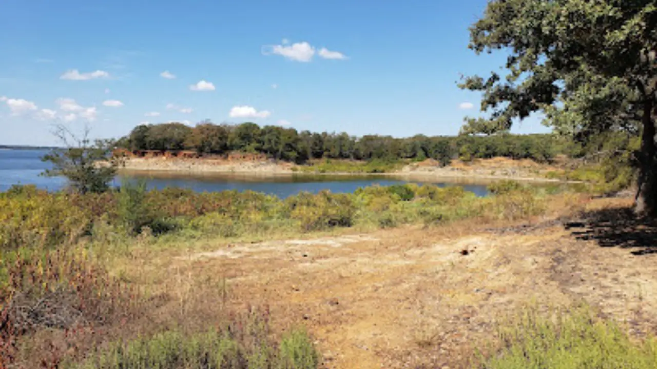
Jointly managed by the U.S. Army Corps of Engineers and DORBA, this trail stands as the most famous dirt singletrack in North Texas. Those planning wider regional outings can explore our guide to the best lakes in Dallas Fort Worth for boating and shoreline recreation.
Lake Grapevine Shoreline and Sandstone Ledges
Northshore Trail hugs the undulating northern rim of Lake Grapevine, offering constant waterfront views. As one of the leading lake hiking trails near Dallas, it delivers varied natural terrain along sandstone cliffs, sandy coves, and post oak woodlands.
Hikers encounter exposed sandstone drops, steep short ascents, and winding cliffside turns. Several secluded gravel beaches along the route provide scenic places to sit by the water and watch sailboats on the lake.
East Loops vs West Loops Terrain
The 22.5-mile system divides into seven loops across two distinct halves. Loops 1 through 4 (the East Side, spanning 12.5 miles) feature softer sandy loam, rolling forested dips, and smoother turns suited for moderate day hiking.
Loops 5 through 7 (the West Side, spanning 10 miles) present rugged, technical terrain filled with rocky drop-offs, large roots, and challenging climbs. Endurance trail runners and experienced hikers favor the western loops for rigorous workouts.
Murrell Park Access and DORBA Status
Hikers can access the trail via multiple entry points along the lake. The MADD Shelter trailhead at Murrell Park in Flower Mound provides free parking, restrooms, and direct central access to both the east and west trail loops.
According to the US Army Corps of Engineers Fort Worth District Recreation Guide, this trail operates under strict unidirectional rules, and cyclists must yield right-of-way to hikers. The trail closes immediately following rain to prevent damage to soft lakeside soil.
Big Cedar Wilderness Trails: Ridge Climbs and Skyline Views
Big Cedar Wilderness Trails sits on the highest natural elevation in Dallas County, delivering panoramic views of the Dallas skyline. The rugged 20-mile network offers steep climbs and rocky ridgelines.
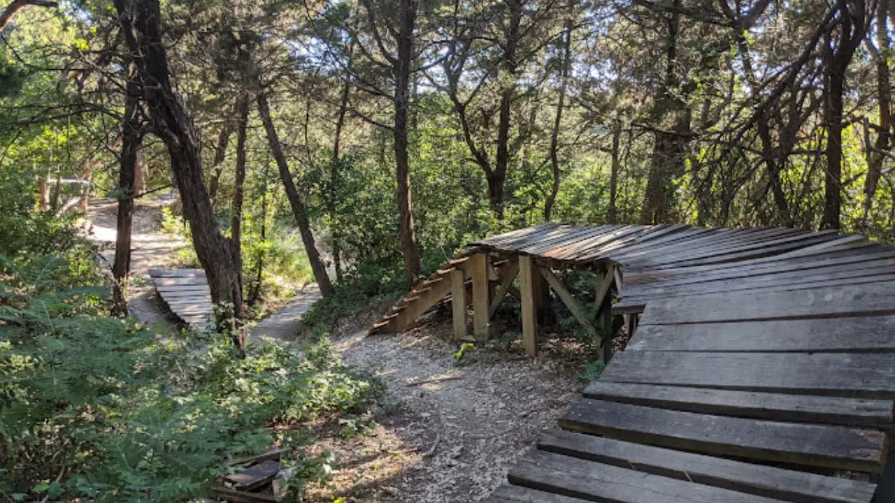
Located on private property owned by Mountain Creek Church at 5950 Eagle Ford Drive in Dallas, this hidden preserve provides authentic backcountry challenges. It offers the most physically demanding hiking in Dallas Texas.
Dallas County Highest Elevation Points
Rising along the White Rock Escarpment, the ridges of Big Cedar reach elevations approaching 820 feet above sea level. This high vantage creates severe drop-offs and sustained climbs rare in North Texas topography.
Trails such as the Dragon's Tail and Ranger Loop require serious leg drive and stable footing. Trekkers training for Colorado or Appalachian mountain expeditions frequently practice hill climbing on these rocky inclines.
Technical Climbs and Panoramic Lookouts
The highest lookout points along the ridge crest provide sweeping views of downtown Dallas skyscrapers rising far across the horizon. Looking south and west, the vistas stretch uninterrupted across rolling Hill Country cedar forests.
The terrain combines sharp limestone bedrock, loose scree, and dense juniper woodlands. Hikers should remain watchful on narrow ridgeline sections where switchbacks cross steep drop-offs.
Online Waivers and Sunday Operating Hours
Because Big Cedar operates on private church property, all visitors must complete an online adult liability waiver before accessing the trailheads. Trail use is free, though donations to DORBA trail stewards are appreciated.
Operating hours run Tuesday through Saturday from dawn until dusk. The trails remain closed all day Monday to let the natural tread rest, and Sunday access begins at 1:00 PM following morning church services.
Tip
Download the Trailforks or DORBA map onto your smartphone before arriving at Big Cedar; trail markings can be sparse across the 20-mile multi-loop network.
Essential Dallas Hiking Tips: Heat, Rain, and Safety
Preparation for Dallas hiking requires monitoring summer heat indices, tracking DORBA rain closures for dirt paths, and packing at least one liter of water per hour of trail time.
Exploring the outdoors in North Texas requires practical preparation tailored to seasonal weather conditions and regional wildlife habitats. Following these guidelines ensures a safe and comfortable trail outing.
Summer Heat Safety and Water Planning
Texas summer heat regularly exceeds 100 degrees Fahrenheit between June and September. Trail heat indices can feel even hotter along unshaded limestone ridges at Cedar Ridge or Big Cedar.
Plan hikes during early morning hours before 10:00 AM, and avoid midday outings during high heat advisories. Carry at least one liter of water per person for every hour of hiking, supplemented with electrolyte tablets.
Checking Trail Conditions After Rainfall
Blackland prairie clay and limestone singletrack turn into thick, impassable mud after rainstorms. Hiking on wet trails causes deep ruts and long-term tread erosion that requires hundreds of volunteer repair hours.
Preserves like Cedar Ridge, Cedar Hill State Park, and Northshore close immediately after rain. Check the DORBA app or official social media feeds before driving to trailheads to confirm open conditions.
Leash Regulations and Wildlife Precautions
Except for the bird sanctuaries at Trinity River and Dogwood Canyon, most Dallas preserves welcome dogs on handheld leashes. Always pack sufficient water and a collapsible bowl for canine companions during warmer months.
Stay alert for poison ivy along woodland borders, especially along Spring Creek and River Legacy trails. North Texas trails are also home to native copperheads and rattlesnakes, so stay in the center of marked paths and watch your step around sunny limestone boulders.
Frequently Asked Questions About Dallas Hiking Trails
Common questions about hiking in Dallas cover trail difficulty, elevation gain, park entry fees, dog leash regulations, and post-rain trail closures across North Texas preserves.
What is the most scenic hiking trail in Dallas?
Cedar Ridge Preserve offers the most scenic hiking trail in Dallas, featuring high limestone bluffs and panoramic overlooks above Joe Pool Lake. The Cattail Pond Trail and Escarpment Trail wind through dense juniper forest, offering sweeping ridgeline views unmatched within Dallas County.
Are there hiking trails with elevation gain in Dallas?
Yes, Dallas offers surprising elevation gain along the Balcones Escarpment southwest of the city. Cedar Ridge Preserve delivers climbs up to 755 feet above sea level, while Big Cedar Wilderness Trails reaches the highest natural point in Dallas County with steep, rocky ridgelines.
Which Dallas hiking trails are dog friendly?
Most Dallas area parks allow leashed dogs, including Cedar Ridge Preserve, Arbor Hills Nature Preserve, River Legacy Parks, and Cedar Hill State Park. However, Trinity River Audubon Center strictly bans all pets to protect ground-nesting birds, wetland mammals, and fragile wildlife habitats.
Do you have to pay entrance fees for Dallas hiking trails?
Most Dallas nature preserves are free to access, including Arbor Hills Nature Preserve, Oak Cliff Nature Preserve, and Spring Creek Nature Area. Cedar Hill State Park charges $7 per adult, while Trinity River Audubon Center offers free admission with a required advance online reservation.
How do you check if Dallas dirt trails are closed after rain?
Hikers can check the official Dallas Off-Road Bicycle Association website or mobile app for real-time status updates. Natural surface singletrack trails across Dallas County, including Cedar Hill, Northshore, and Oak Cliff, close immediately after rainfall to prevent severe tread erosion and damage.
What is the longest hiking trail in the Dallas Fort Worth area?
The Northshore Trail along Lake Grapevine is the longest contiguous singletrack hiking trail in the Dallas Fort Worth metroplex, spanning 22.5 miles across seven interconnected loops. It contours rugged shoreline bluffs between Rockledge Park and Twin Coves Park in Flower Mound.
South of Fort Worth, [Cleburne State Park](/cleburne-state-park-map-hours-camping-trails/) features spring-fed Cedar Lake surrounded by shaded limestone hiking trails.
In East Dallas, [White Rock Lake](/white-rock-lake-dallas-tx/) provides a popular 9.3-mile paved loop trail offering skyline views, wildlife viewing, and park pavilions.